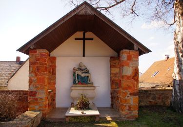
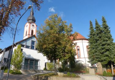
5,7 km | 7,8 km-effort
Walhalla
jcm17
Utilisateur
Longueur
2,7 km
Altitude max
417 m
Dénivelé positif
121 m
Km-Effort
4,3 km
Altitude min
326 m
Dénivelé négatif
137 m
Boucle
Non
Date de création :
2019-05-12 12:20:36.107
Dernière modification :
2019-05-12 15:38:00.806
49m
Difficulté : Très facile
Application GPS de randonnée GRATUITE
À propos
Randonnée Marche de 2,7 km à découvrir à Bavière, Landkreis Regensburg, Donaustauf. Cette randonnée est proposée par jcm17.
Localisation
Pays :
Allemagne
Région :
Bavière
Département/Province :
Landkreis Regensburg
Commune :
Donaustauf
Localité :
Unknown
Départ:(Dec)
Départ:(UTM)
297326 ; 5434762 (33U) N.
Commentaires
Randonnées à proximité
O 15 Donaustauf - Unterlichtenwald (Grünes Rechteck)
A pied
Facile
Donaustauf,
Bavière,
Landkreis Regensburg,
Allemagne
1h 46min
Non
O 03 Keilberg - Silberweiher (Grünes Rechteck)
A pied
Facile
Bernhardswald,
Bavière,
Landkreis Regensburg,
Allemagne
4,7 km | 5,6 km-effort
1h 16min
Non
O 01 Keilberg - Silberweiher (Rotes Dreieck)
A pied
Facile
Kreuther Forst,
Bavière,
Landkreis Regensburg,
Allemagne
6,6 km | 7,8 km-effort
1h 46min
Non
O 08 Wenzenbach - Donaustauf (Rotes Dreieck)
A pied
Facile
Wenzenbach,
Bavière,
Landkreis Regensburg,
Allemagne
5,4 km | 7,7 km-effort
1h 45min
Non
O 27 Maad - Irlbach (Grünes Dreieck)
A pied
Facile
Wenzenbach,
Bavière,
Landkreis Regensburg,
Allemagne
8 km | 10,4 km-effort
2h 21min
Non
O 16 Unterlichtenwald - Altenthann (Grünes Dreieck)
A pied
Facile
Altenthann,
Bavière,
Landkreis Regensburg,
Allemagne
9 km | 12 km-effort
2h 43min
Non
O 14 Adlmannstein - Unterlichtenwald (Grünes Rechteck)
A pied
Facile
Altenthann,
Bavière,
Landkreis Regensburg,
Allemagne
7,2 km | 9,7 km-effort
2h 12min
Non
O 64 Irlbach - Forstacker (Blaues Rechteck)
A pied
Facile
Wenzenbach,
Bavière,
Landkreis Regensburg,
Allemagne
4,5 km | 6,1 km-effort
1h 22min
Non
O 06 Silberweiher - Donaustauf (Rotes Rechteck)
A pied
Facile
Donaustauf,
Bavière,
Landkreis Regensburg,
Allemagne
6,1 km | 8,1 km-effort
1h 50min
Non