


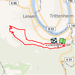

12,1 km | 16,6 km-effort

Utilisateur GUIDE


Application GPS de randonnée GRATUITE
 SityTrail
IGN / Instituts géographiques
SityTrail World
Le monde est à vous
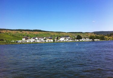
Randonnée Marche de 6,7 km à découvrir à Rhénanie-Palatinat, Landkreis Trier-Saarburg, Leiwen. Cette randonnée est proposée par rvapeldo.
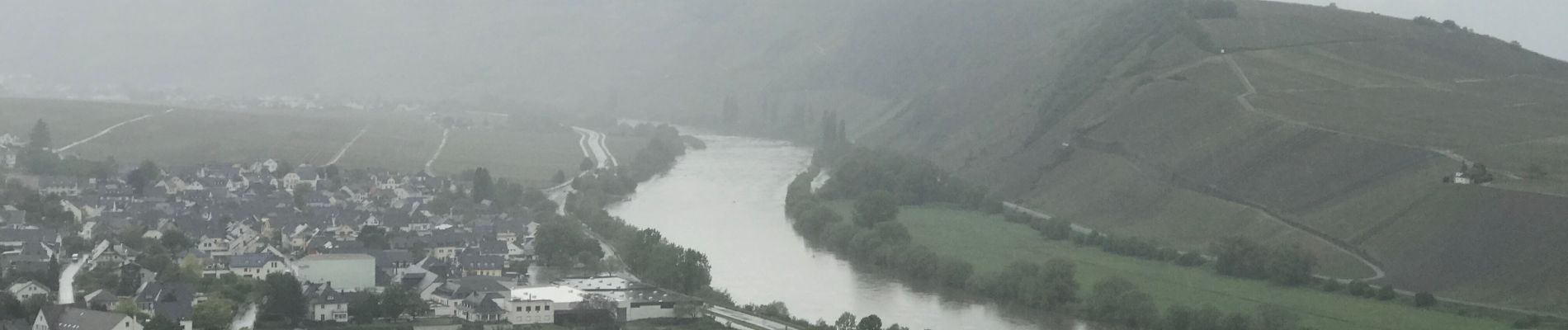
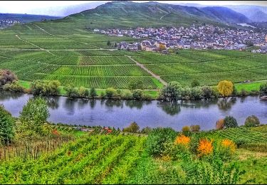
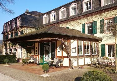
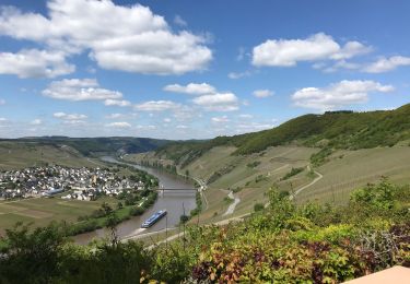
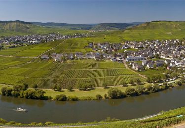
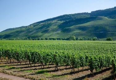
Promenade dans les hauteurs de Leiwin, au départ d’une zone où il y a des hôtels et des logements de type weingug (vignerons). Il démarre en crête dans les bois, puis serpente dans les vignes, en passant par une charmante chapelle.


A pied
A pied
A pied
Marche

Marche
A pied
A pied
A pied
A pied