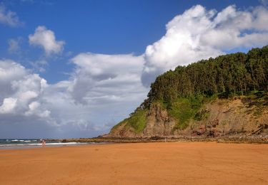
4,6 km | 6,4 km-effort
SityTrail - Colunga-Villaviciosa
ZAMBAUX
Utilisateur
Longueur
18,1 km
Altitude max
178 m
Dénivelé positif
420 m
Km-Effort
24 km
Altitude min
3 m
Dénivelé négatif
431 m
Boucle
Non
Date de création :
2019-05-09 15:39:32.861
Dernière modification :
2019-05-09 15:40:16.039
5h04
Difficulté : Très difficile
Application GPS de randonnée GRATUITE
À propos
Randonnée Marche de 18,1 km à découvrir à Asturies, Asturies, Colunga. Cette randonnée est proposée par ZAMBAUX.
Description
Ludres : Etape 7
Localisation
Pays :
Espagne
Région :
Asturies
Département/Province :
Asturies
Commune :
Colunga
Localité :
Unknown
Départ:(Dec)
Départ:(UTM)
316446 ; 4817206 (30T) N.
Commentaires
Randonnées à proximité
Senda costera Arenal de Morís - Playa de La Griega
A pied
Facile
Colunga,
Asturies,
Asturies,
Espagne
1h 27min
Non
061 La Isla San Salvadore
Marche
Très facile
Colunga,
Asturies,
Asturies,
Espagne
31 km | 41 km-effort
8h 43min
Non
Colunga Villaviciosa
Marche
Difficile
Colunga,
Asturies,
Asturies,
Espagne
19,2 km | 0 m-effort
5h 2min
Non
Colunga-Villaviciosa
Marche
Moyen
Colunga,
Asturies,
Asturies,
Espagne
18,1 km | 24 km-effort
5h 4min
Non
061 La Isla San Salvadore
Marche
Très facile
Colunga,
Asturies,
Asturies,
Espagne
31 km | 41 km-effort
8h 45min
Non
061 La Isla-San Salvador (via Villaviciosa)
Marche
Très facile
Colunga,
Asturies,
Asturies,
Espagne
31 km | 41 km-effort
8h 37min
Non
camino del Norte Colunga-Villaviciosa
Marche
Très facile
Colunga,
Asturies,
Asturies,
Espagne
19,7 km | 25 km-effort
4h 36min
Non