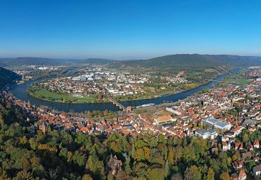
3,2 km | 4,1 km-effort
Miltenberg
jcm17
Utilisateur
Longueur
5,7 km
Altitude max
240 m
Dénivelé positif
151 m
Km-Effort
7,8 km
Altitude min
126 m
Dénivelé négatif
152 m
Boucle
Oui
Date de création :
2019-05-08 06:34:28.8
Dernière modification :
2019-05-08 09:35:46.348
3h00
Difficulté : Très facile
Application GPS de randonnée GRATUITE
À propos
Randonnée Marche de 5,7 km à découvrir à Bavière, Landkreis Miltenberg, Miltenberg. Cette randonnée est proposée par jcm17.
Localisation
Pays :
Allemagne
Région :
Bavière
Département/Province :
Landkreis Miltenberg
Commune :
Miltenberg
Localité :
Unknown
Départ:(Dec)
Départ:(UTM)
518651 ; 5505838 (32U) N.
Commentaires
Randonnées à proximité
Liebliches Taubertal 1
A pied
Facile
Freudenberg,
Bade-Wurtemberg,
Main-Tauber-Kreis,
Allemagne
56min
Non
Rundwanderweg Bürgstadt Stutz 3: Ringwall-Weg
A pied
Facile
Bürgstadt,
Bavière,
Landkreis Miltenberg,
Allemagne
6,5 km | 10 km-effort
2h 16min
Oui
Rundwanderweg Miltenberg Monbrunn 3:
A pied
Facile
Miltenberg,
Bavière,
Landkreis Miltenberg,
Allemagne
5 km | 6,5 km-effort
1h 28min
Oui
Rundwanderweg Kleinheubach Schützenhaus 5 : Dr. Götz Gedenkweg
A pied
Facile
Kleinheubach,
Bavière,
Landkreis Miltenberg,
Allemagne
3,3 km | 5,4 km-effort
1h 13min
Oui
Rundwanderweg Kleinheubach Schützenhaus 6 : Scheuerbuschhöhenweg
A pied
Facile
Kleinheubach,
Bavière,
Landkreis Miltenberg,
Allemagne
5,4 km | 8,1 km-effort
1h 49min
Oui
Rundwanderweg Kleinheubach Galgen 1: Galgenweg
A pied
Facile
Kleinheubach,
Bavière,
Landkreis Miltenberg,
Allemagne
3,2 km | 4,4 km-effort
59min
Oui
Rundwanderweg Weilbach Reuental 1:
A pied
Facile
Weilbach,
Bavière,
Landkreis Miltenberg,
Allemagne
5 km | 7 km-effort
1h 35min
Oui
Rundwanderweg Weilbach Reuental 2:
A pied
Facile
Weilbach,
Bavière,
Landkreis Miltenberg,
Allemagne
6,4 km | 8,7 km-effort
1h 58min
Oui
Rundwanderweg Miltenberg 4: Steinerner-Weg
A pied
Facile
Miltenberg,
Bavière,
Landkreis Miltenberg,
Allemagne
12,9 km | 17,8 km-effort
4h 2min
Oui