


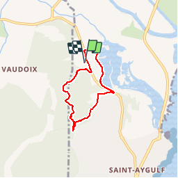

6,5 km | 7 km-effort


Utilisateur


Application GPS de randonnée GRATUITE
 SityTrail
IGN / Instituts géographiques
SityTrail World
Le monde est à vous
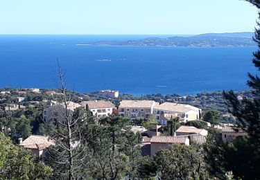
Randonnée Marche de 5,5 km à découvrir à Provence-Alpes-Côte d'Azur, Var, Fréjus. Cette randonnée est proposée par Templeuveenmarche.
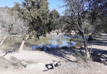
au départ delà résidence Odalys Les Eucalyptus randonnée sur les petites Maures et une partie des étangs de Villepey

Marche

Vélo électrique
V.T.T.

Marche
Marche

V.T.T.
Marche
Marche
V.T.T.