


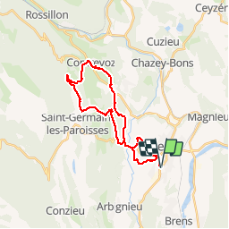

39 km | 54 km-effort


Utilisateur


Application GPS de randonnée GRATUITE
 SityTrail
IGN / Instituts géographiques
SityTrail World
Le monde est à vous
Randonnée V.T.T. de 25 km à découvrir à Auvergne-Rhône-Alpes, Ain, Belley. Cette randonnée est proposée par jeannot01.
Joli petit tour de reprise entre Belley, St Germain et Contrevoz alternant gros chemin et singles.
Pas de difficulté particulière. Profil assez roulant
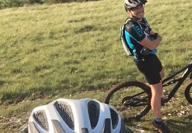
V.T.T.
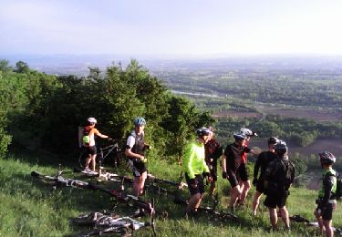
V.T.T.

V.T.T.
V.T.T.
V.T.T.
V.T.T.
V.T.T.
V.T.T.