


10,1 km | 14,9 km-effort

Utilisateur


Application GPS de randonnée GRATUITE
 SityTrail
IGN / Instituts géographiques
SityTrail World
Le monde est à vous
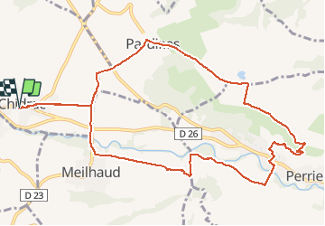
Randonnée Marche de 12,4 km à découvrir à Auvergne-Rhône-Alpes, Puy-de-Dôme, Chidrac. Cette randonnée est proposée par jome63.
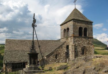
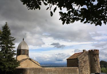
Une randonnée avec de superbes points de vue panoramiques sur le Sancy et sur le Puy-de-Dôme depuis le plateau de Pardines. En descendant du plateau, il faut s'écarter un peu du chemin pour découvrir les grottes de Perrier, restaurées ou en cours de restauration. En sortant de Perrier, il faut remonter le long de la rivière Couze Pavin pour découvrir Meilhaud. Départ et retour au parking public de la rue du Fort de Chidrac.
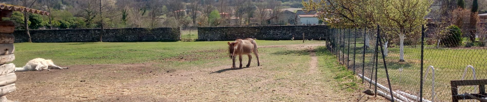
 - Meilhaud - Photo 1")
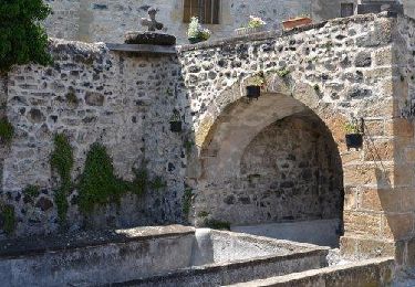
 - Meilhaud - Photo 2")
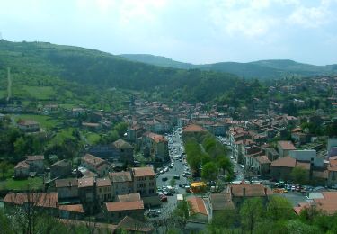
 - Meilhaud - Photo 3")
 - Meilhaud - Photo 4")
 - Meilhaud - Photo 5")
 - Meilhaud - Photo 6")
 - Meilhaud - Photo 7")
 - Meilhaud - Photo 8")
 - Meilhaud - Photo 9")
 - Meilhaud - Photo 10")
 - Meilhaud - Photo 11")
 - Meilhaud - Photo 12")
Marche

Marche

A pied
A pied

A pied
A pied
A pied

A pied
A pied