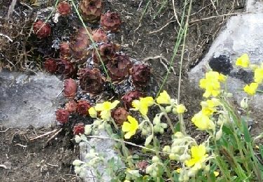
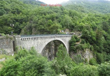
Randonnée Marche Viscos - Les Villages Toy G3 - Photo
 almitpau
almitpau

Utilisateur

© OpenStreetMap contributors
Longueur
Longueur
8,4 km
Altitude max
Altitude max
1192 m
Dénivelé positif
Dénivelé positif
450 m
Km-Effort
Km-Effort  
14,4 km
Altitude min
Altitude min
813 m
Dénivelé négatif
Dénivelé négatif
446 m
Boucle
Boucle
Oui
Date de création :
2019-04-17 16:32:53.835
Dernière modification :
2019-04-17 16:47:06.922

(1 Avis)

Marche
Marche
2h56
Difficulté : Difficile

Scannez ce code QR pour ouvrir la randonnée dans l'application SityTrail

Application GPS de randonnée GRATUITE

Logo SityTrail SityTrail

IGN / Instituts géographiques

Télécharger SityTrail sur l'App Store Télécharger SityTrail sur Google Play

Logo SityTrail SityTrail World

Le monde est à vous

Télécharger SityTrail sur l'App Store Télécharger SityTrail sur Google Play Télécharger SityTrail sur Huawei AppGallery

À propos

Randonnée Marche de 8,4 km à découvrir à Occitanie, Hautes-Pyrénées, Viscos. Cette randonnée est proposée par almitpau.

Profil altimétrique

Localisation

Pays :
France
Région :
Occitanie
Département/Province :
Hautes-Pyrénées
Commune :
Viscos
Localité :
Unknown
Départ:(UTM)
741480 ; 4754992 (30T) N.

Commentaires

Veuillez vous connecter pour laisser un commentaire ou une note


Randonnées à proximité

Randonnée Marche Sazos - Lac de Lagües - Photo
Marche
DuMarsan

Marche

Moyen
(2)
Sazos, Occitanie, Hautes-Pyrénées, France
9,1 km | 18,9 km-effort
5h 14min
Oui
Randonnée Marche Grust - PIC DE VISCOS - Photo
Marche
PVERTICAL

Marche

Moyen
(1)
Grust, Occitanie, Hautes-Pyrénées, France
10,5 km | 18,4 km-effort
4h 7min
Oui
Randonnée A pied Esterre - ESTERRE Viella / Luz /  Esquieze /  Esterre en boucle la bonne (G3) 2587190 - Photo
A pied
GUIDE
marmotte65

A pied

Très facile
(1)
Esterre, Occitanie, Hautes-Pyrénées, France
9,4 km | 15,5 km-effort
Inconnu
Oui
Randonnée A pied Esterre - ESTERRE  Villenave st Sauveur Luz Esterre G4
A pied
GUIDE
marmotte65

A pied

Facile
Esterre, Occitanie, Hautes-Pyrénées, France
9,4 km | 14,2 km-effort
3h 13min
Oui
Randonnée A pied Luz-Saint-Sauveur - LUZ SAINT SAUVEUR Les chemins de l agnouede bis - Photo
A pied
GUIDE
marmotte65

A pied

Facile
Luz-Saint-Sauveur, Occitanie, Hautes-Pyrénées, France
11,8 km | 18,5 km-effort
4h 12min
Oui
Randonnée Marche Esterre - ESTERRE  et sa banlieue G4 fait le 15 02 2021    - Photo
Marche
GUIDE
marmotte65

Marche

Facile
Esterre, Occitanie, Hautes-Pyrénées, France
8,5 km | 12,6 km-effort
2h 32min
Oui
Randonnée A pied Sassis - SASSIS les chemins de l agnouede fait G3 le 28/02/2020  - Photo
A pied
GUIDE
marmotte65

A pied

Moyen
Sassis, Occitanie, Hautes-Pyrénées, France
8,9 km | 14,8 km-effort
Inconnu
Oui
Randonnée Course à pied Luz-Saint-Sauveur - Rando-Trail à Luz St Sauveur - Photo
Course à pied
lolo.francilien

Course à pied

Moyen
(2)
Luz-Saint-Sauveur, Occitanie, Hautes-Pyrénées, France
11,4 km | 18 km-effort
1h 40min
Oui
Randonnée Marche Esquièze-Sère - Château de Luz Saint Sauveur (Sainte Marie) - Photo
Marche
fab71

Marche

Facile
(3)
Esquièze-Sère, Occitanie, Hautes-Pyrénées, France
3,7 km | 6,8 km-effort
1h 28min
Oui


Fermer
Mes abonnements