


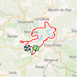

23 km | 33 km-effort


Utilisateur


Application GPS de randonnée GRATUITE
 SityTrail
IGN / Instituts géographiques
SityTrail World
Le monde est à vous
Randonnée Randonnée équestre de 28 km à découvrir à Wallonie, Liège, Trois-Ponts. Cette randonnée est proposée par AudreyNey.
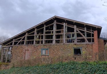
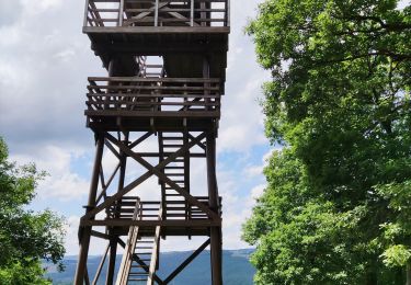
Trois Hêtre, grosse descente, boucle vers Rahier puis vers Monceau, descente vers Coo avec traversée de l'ambleve au parc de Ploopsa Coo, traversée de Petit Coo et remonter vers Brume pour redescendre vers Basse-Bodeux

Marche

Marche
Marche

Marche

Marche
Marche
Marche
Marche
Marche