


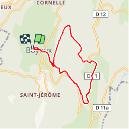

12,8 km | 18 km-effort


Utilisateur


Application GPS de randonnée GRATUITE
 SityTrail
IGN / Instituts géographiques
SityTrail World
Le monde est à vous
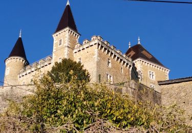
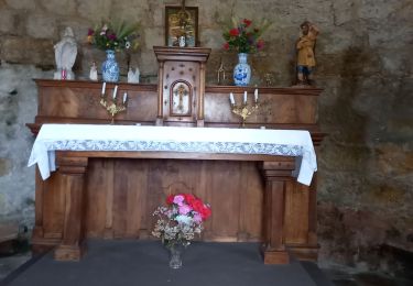
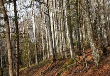
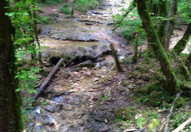
Randonnée Marche de 7,4 km à découvrir à Auvergne-Rhône-Alpes, Ain, Boyeux-Saint-Jérôme. Cette randonnée est proposée par micheldutilleul.
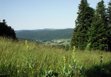
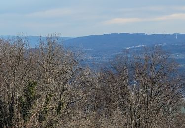
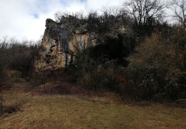
Découverte de la forêt dans sa diversité et des pâturages de moyenne altitude (ferme du Lancieux). Au retour, descente dans les hautes futaies.

V.T.T.

V.T.T.
Marche

Cheval
Marche
Marche
Marche
Marche
Marche