


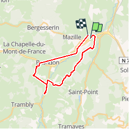

11,8 km | 16,1 km-effort


Utilisateur


Application GPS de randonnée GRATUITE
 SityTrail
IGN / Instituts géographiques
SityTrail World
Le monde est à vous
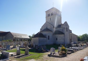
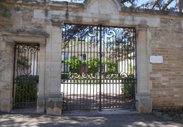
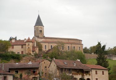
Randonnée V.T.T. de 22 km à découvrir à Bourgogne-Franche-Comté, Saône-et-Loire, Sainte-Cécile. Cette randonnée est proposée par darrisa.
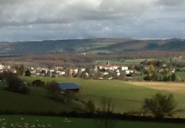
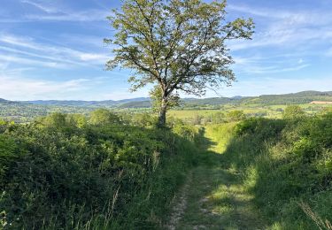
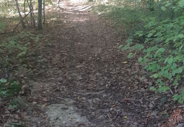
petite ballade de mise en jambe. le réveil de la forêt est magnifique ce début de printemps
Marche
Marche

A pied

Vélo électrique
Marche
Vélo électrique
Vélo électrique
A pied

Marche