


10,5 km | 18,5 km-effort

Utilisateur


Application GPS de randonnée GRATUITE
 SityTrail
IGN / Instituts géographiques
SityTrail World
Le monde est à vous
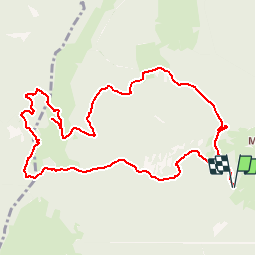
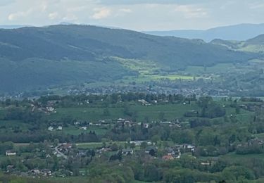
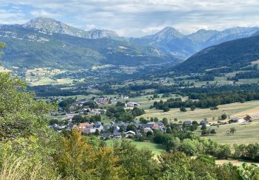
Randonnée Marche de 11,4 km à découvrir à Auvergne-Rhône-Alpes, Savoie, Arith. Cette randonnée est proposée par djeepee74.
BOUCLE via le GR de Pays du Massif des Bauges... et le col de la Cochette.
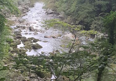
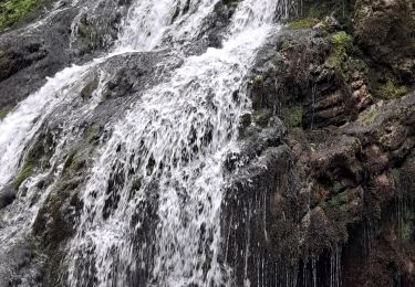
A la descente, après le col de la Cochette, à la cote 1297, "chercher" et suivre la sente (qui part plein est)... laquelle, un peu plus bas, descend dans un talweg... ressemblant plus au lit d'un torrent à sec qu'à un chemin de randonnée... mais c'est pittoresque !
Un peu d'imagination peut laisser croire que le profil du tracé fait penser à un escargot... De quoi en baver !
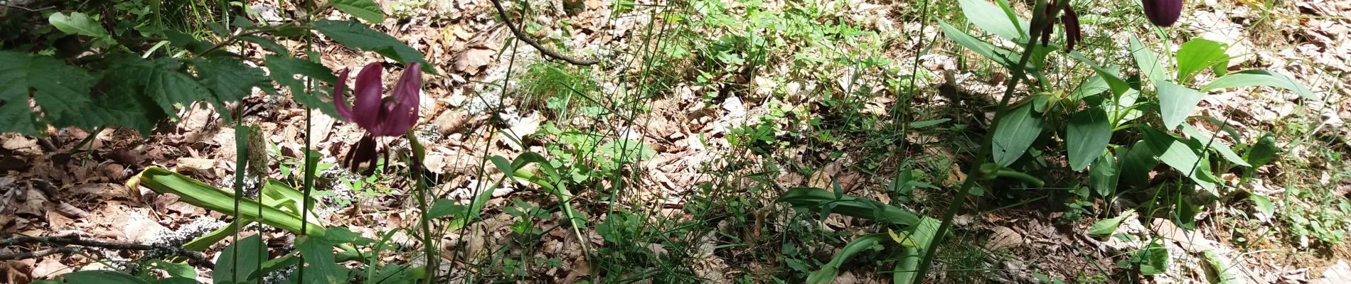
 - Photo 1")
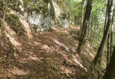
 - Photo 2")
Marche
Marche

Ski de randonnée
Marche
Marche
Marche
Marche
Marche

Marche