14,2 km | 24 km-effort
garlaban
JimBlues
Utilisateur
Longueur
11,2 km
Boucle
Oui
Date de création :
2019-03-02 09:30:05.407
Dernière modification :
2019-03-02 12:34:36.484
3h03
Difficulté : Très facile
Application GPS de randonnée GRATUITE
À propos
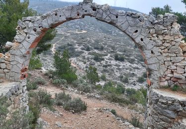
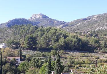
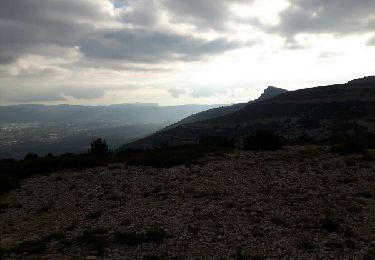
Randonnée Marche nordique de 11,2 km à découvrir à Provence-Alpes-Côte d'Azur, Bouches-du-Rhône, Aubagne. Cette randonnée est proposée par JimBlues.
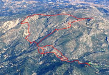
Localisation
Pays :
France
Région :
Provence-Alpes-Côte d'Azur
Département/Province :
Bouches-du-Rhône
Commune :
Aubagne
Localité :
Unknown
Départ:(Dec)
Départ:(UTM)
706384 ; 4798275 (31T) N.
Commentaires
Randonnées à proximité
Aubagne - Le Garlaban - Autour de Pagnol
Marche
Difficile
(1)
Aubagne,
Provence-Alpes-Côte d'Azur,
Bouches-du-Rhône,
France
7h 0min
Oui
font de mai de Jean claude
Marche
Difficile
(1)
Aubagne,
Provence-Alpes-Côte d'Azur,
Bouches-du-Rhône,
France
8,8 km | 12,8 km-effort
2h 54min
Oui
la coueste de moi
A pied
Facile
(1)
Aubagne,
Provence-Alpes-Côte d'Azur,
Bouches-du-Rhône,
France
8,7 km | 12,5 km-effort
Inconnu
Oui
Garlaban au départ de Lascours
Marche
Difficile
Roquevaire,
Provence-Alpes-Côte d'Azur,
Bouches-du-Rhône,
France
15,6 km | 26 km-effort
6h 1min
Oui
sur les traces de Pagnol fait
Marche
Très facile
Marseille,
Provence-Alpes-Côte d'Azur,
Bouches-du-Rhône,
France
18 km | 28 km-effort
7h 12min
Oui
SityTrail - Massif du Garlaban
Marche
Très difficile
(1)
Marseille,
Provence-Alpes-Côte d'Azur,
Bouches-du-Rhône,
France
15,2 km | 25 km-effort
5h 11min
Oui
Garlaban
Autre activité
Très facile
(1)
Marseille,
Provence-Alpes-Côte d'Azur,
Bouches-du-Rhône,
France
15,8 km | 25 km-effort
6h 35min
Oui
le mont du marseillais par le grand Vallon
Marche
Difficile
Roquevaire,
Provence-Alpes-Côte d'Azur,
Bouches-du-Rhône,
France
9,9 km | 15,9 km-effort
4h 50min
Oui
Le Garlaban par le Grand Vallon
Marche
Difficile
(1)
Roquevaire,
Provence-Alpes-Côte d'Azur,
Bouches-du-Rhône,
France
10,1 km | 18,7 km-effort
3h 49min
Oui