


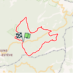

24 km | 44 km-effort
Un jour de randonnée, huit jours de santé


Application GPS de randonnée GRATUITE
 SityTrail
IGN / Instituts géographiques
SityTrail World
Le monde est à vous
Randonnée Marche de 15,1 km à découvrir à Provence-Alpes-Côte d'Azur, Vaucluse, Bédoin. Cette randonnée est proposée par La Draille.
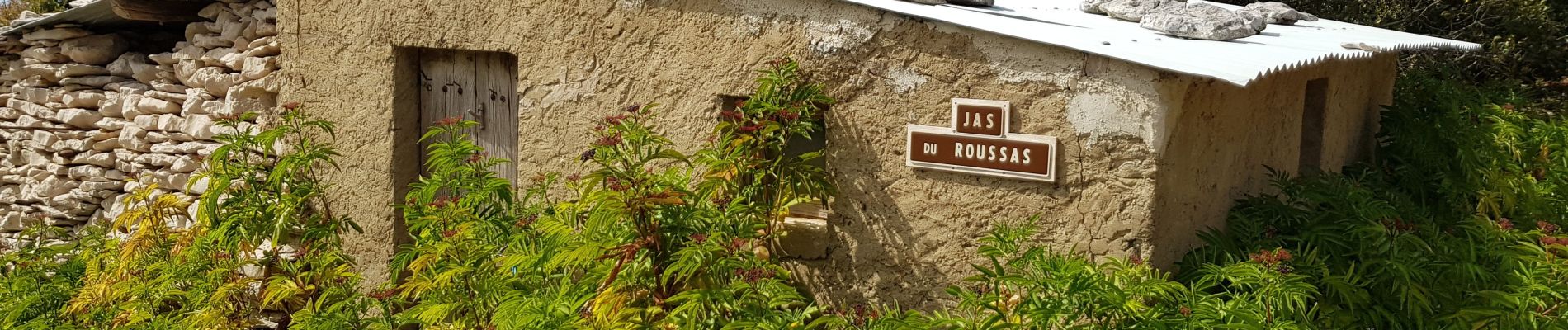
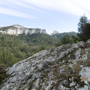
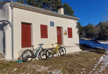
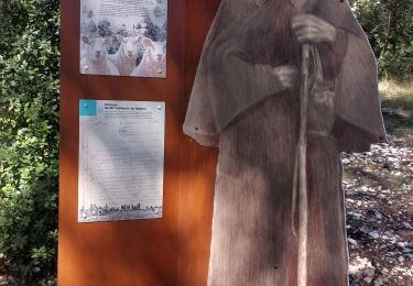
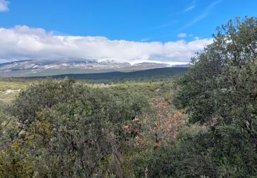
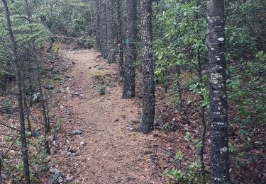
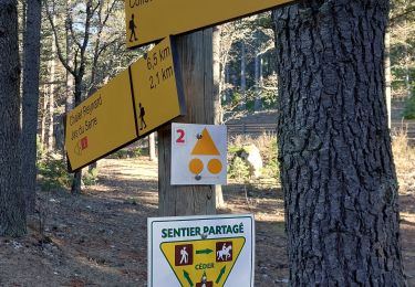
Départ du Pavillon de Roland sur la route du Mont Ventoux depuis Bedoin - Revenir vers la route (balisage jaune et MA) - Jas des Abeiès - Au panneau Combe de Guerene, prendre la direction "Petit Moutet" - Hôtel de la Forêt. Retraverser la route au Jas des Mélettes - Jas du Roussas - Jas de Serre - Jas du Mourre - Massif des Cèdres - Prendre à gauche un petit sentier - Rejoindre le Pavillon de Roland


Marche
Marche
V.T.T.
Marche
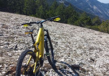
V.T.T.
Marche
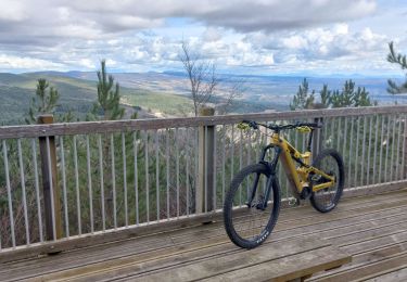
V.T.T.
Marche
Marche