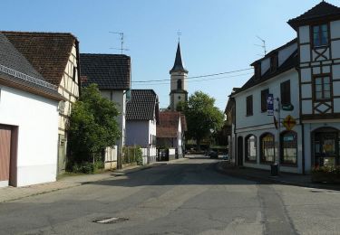
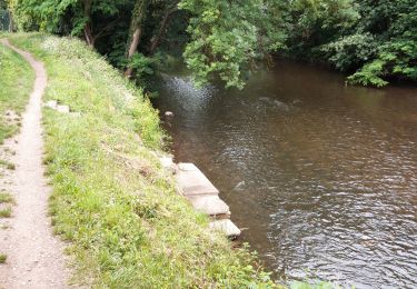
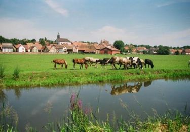
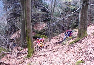
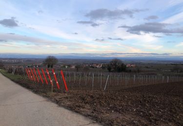
11,8 km | 14,5 km-effort
chapelle en caleche
EVY67
Utilisateur
Longueur
7,1 km
Altitude max
205 m
Dénivelé positif
76 m
Km-Effort
8,2 km
Altitude min
159 m
Dénivelé négatif
90 m
Boucle
Non
Date de création :
2019-02-24 10:23:15.822
Dernière modification :
2019-02-24 23:02:28.722
1h01
Difficulté : Très facile
Application GPS de randonnée GRATUITE
À propos
Randonnée Attelage de 7,1 km à découvrir à Grand Est, Bas-Rhin, Handschuheim. Cette randonnée est proposée par EVY67.
Localisation
Pays :
France
Région :
Grand Est
Département/Province :
Bas-Rhin
Commune :
Handschuheim
Localité :
Unknown
Départ:(Dec)
Départ:(UTM)
395126 ; 5384317 (32U) N.
Commentaires
Randonnées à proximité
Circuit cyclo des villages de plaine - Ernolsheim-Bruche
Vélo
Facile
Ernolsheim-Bruche,
Grand Est,
Bas-Rhin,
France
19,1 km | 20 km-effort
1h 0min
Oui
Dachstein- Dompeter - Vignes Avolsheim
Randonnée équestre
Moyen
Dachstein,
Grand Est,
Bas-Rhin,
France
8,3 km | 9,7 km-effort
1h 20min
Non
Flanerie au bord de l'eau - Quatzenheim
V.T.T.
Moyen
Quatzenheim,
Grand Est,
Bas-Rhin,
France
31 km | 34 km-effort
1h 30min
Oui
Kochersberg en VTT - Quatzenheim
V.T.T.
Difficile
Quatzenheim,
Grand Est,
Bas-Rhin,
France
23 km | 27 km-effort
2h 0min
Oui
Randonnée Dossenheim - K. 04
V.T.T.
Difficile
Dossenheim-Kochersberg,
Grand Est,
Bas-Rhin,
France
41 km | 50 km-effort
3h 0min
Oui
Froissart schararberg
Marche
Dahlenheim,
Grand Est,
Bas-Rhin,
France
5,3 km | 6,9 km-effort
1h 0min
Oui
Les Passerelles de la Bruche
Marche nordique
Difficile
Achenheim,
Grand Est,
Bas-Rhin,
France
11,2 km | 12,8 km-effort
2h 0min
Oui
chevauchée gourmande 2022b
Cheval
Facile
Breuschwickersheim,
Grand Est,
Bas-Rhin,
France
19,4 km | 22 km-effort
2h 40min
Oui