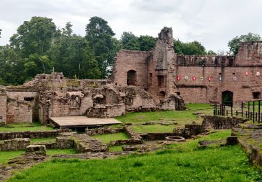
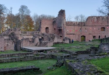
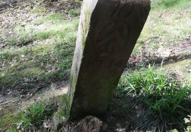
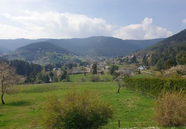
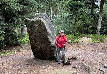
Randonnée Randonnée équestre Romanswiller - deefinitif A/R FUCHSLOCH-WANGENBOURG-BISCHOF-3FORESTIERS - Photo

deefinitif A/R FUCHSLOCH-WANGENBOURG-BISCHOF-3FORESTIERS

© OpenStreetMap contributors
Longueur
Longueur
23 km
Altitude max
Altitude max
504 m
Dénivelé positif
Dénivelé positif
665 m
Km-Effort
Km-Effort  
32 km
Altitude min
Altitude min
250 m
Dénivelé négatif
Dénivelé négatif
664 m
Boucle
Boucle
Oui
Date de création :
2019-02-18 14:04:32.691
Dernière modification :
2019-03-12 09:28:58.34

(0 Avis)

Randonnée équestre
Randonnée équestre
3h54
Difficulté : Moyen

Scannez ce code QR pour ouvrir la randonnée dans l'application SityTrail

Application GPS de randonnée GRATUITE

Logo SityTrail SityTrail

IGN / Instituts géographiques

Télécharger SityTrail sur l'App Store Télécharger SityTrail sur Google Play

Logo SityTrail SityTrail World

Le monde est à vous

Télécharger SityTrail sur l'App Store Télécharger SityTrail sur Google Play Télécharger SityTrail sur Huawei AppGallery

À propos

Randonnée Randonnée équestre de 23 km à découvrir à Grand Est, Bas-Rhin, Romanswiller. Cette randonnée est proposée par depoucquesElisabeth.

Description

Belle sortie avec des départs possibles du fuchsloch  ou  Wangenbourg
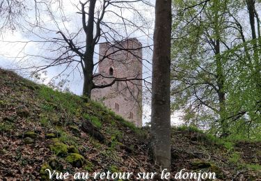
en passant par le château et ses barres d'attaches,  par le heidenschlos avec table et banc, le Rothfelsen également avec table et banc,  Wangenbourg , bischofslaeger ou il y a une table et des bancs, les 3 forestiers avec barre d'attache.

Profil altimétrique

Localisation

Pays :
France
Région :
Grand Est
Département/Province :
Bas-Rhin
Commune :
Romanswiller
Localité :
Unknown
Départ:(UTM)
380475 ; 5388112 (32U) N.

Randonnées à proximité

Randonnée Randonnée équestre Romanswiller - 2021-09-09 Journée cosswiller Wangenbourg - Photo
Randonnée équestre
GUIDE
holtzv

Randonnée équestre

Moyen
Romanswiller, Grand Est, Bas-Rhin, France
21 km | 29 km-effort
4h 12min
Oui
Randonnée Marche Wangenbourg-Engenthal - 2019-11-16 Marche Wangenbourg Castelberg - Photo
Marche
GUIDE
holtzv

Marche

Très facile
Wangenbourg-Engenthal, Grand Est, Bas-Rhin, France
19,8 km | 31 km-effort
4h 51min
Oui
Randonnée Marche Romanswiller - Romanswiller - Photo
Marche
LUTZMarc

Marche

Moyen
(1)
Romanswiller, Grand Est, Bas-Rhin, France
17,3 km | 23 km-effort
5h 13min
Oui
Randonnée Marche Wangenbourg-Engenthal - 20230426_rando_Wangenbourg_Chateaux de Freudeneck_Cascade-de-Mencke_Heidenschloss_Rotfels - Photo
Marche
nfranche

Marche

Moyen
(1)
Wangenbourg-Engenthal, Grand Est, Bas-Rhin, France
14,1 km | 22 km-effort
4h 56min
Oui
Randonnée Marche Reinhardsmunster - table des Géants  - Photo
Marche
apa

Marche

Facile
(1)
Reinhardsmunster, Grand Est, Bas-Rhin, France
10,4 km | 14,7 km-effort
3h 6min
Oui
Randonnée Marche Sommerau - Birkenwald Heidenschloss - Photo
Marche
apa

Marche

Moyen
Sommerau, Grand Est, Bas-Rhin, France
12,8 km | 18,1 km-effort
3h 26min
Oui
Randonnée Marche Wangenbourg-Engenthal - Le donjon du Wangenbourg - Photo
Marche
VacheKiri67

Marche

Moyen
(1)
Wangenbourg-Engenthal, Grand Est, Bas-Rhin, France
15,9 km | 21 km-effort
4h 32min
Oui
Randonnée A pied Dimbsthal - Circuit de découverte du Tannenwald - Photo
A pied
GUIDE+

A pied

Facile
Dimbsthal, Grand Est, Bas-Rhin, France
4,9 km | 6,3 km-effort
1h 26min
Non
Randonnée Marche Reinhardsmunster - Rheinhardsmunster - Photo
Marche
Marie-Claude Martin

Marche

Difficile
Reinhardsmunster, Grand Est, Bas-Rhin, France
22 km | 31 km-effort
6h 42min
Oui


Fermer
Mes abonnements