![](/images/other/stat-length.png)
![Randonnée Marche Saint-Alban-sur-Limagnole - Les Faux - Aumont-Aubrac - Photo](https://media.geolcdn.com/t/1900/400/ext.pjpeg?maxdim=2&url=https%3A%2F%2Fservices.sitytrail.com%2FGeolivesWS%2FDownloadMedia.ashx%3FTrailID%3D203614%26Media%3Dfix__20130708155458.jpg)
Les Faux - Aumont-Aubrac
countryside
Utilisateur
![Longueur](/images/other/stat-length.png)
Longueur
22 km
![Altitude max](https://static1.geolcdn.com/siteimages/upload/files/1508320355ic_sort_altitude_max_24dp.png)
Altitude max
1134 m
![Dénivelé positif](https://static1.geolcdn.com/siteimages/upload/files/1508320355ic_sort_den_pos_24dp.png)
Dénivelé positif
473 m
![Km-Effort](/images/other/stat-length.png)
Km-Effort
28 km
![Altitude min](https://static1.geolcdn.com/siteimages/upload/files/1508320355ic_sort_altitude_min_24dp.png)
Altitude min
918 m
![Dénivelé négatif](https://static1.geolcdn.com/siteimages/upload/files/1508320355ic_sort_den_neg_24dp.png)
Dénivelé négatif
541 m
![Boucle](https://static1.geolcdn.com/siteimages/upload/files/16400158638029165_repeat_loop_refresh_sync_direction_icon.png)
Boucle
Non
Date de création :
2014-12-10 00:00:00.0
Dernière modification :
2014-12-10 00:00:00.0
![Marche](https://static1.geolcdn.com/sitytour/trail-icons/101.png)
5h57
Difficulté : Moyen
![Scannez ce code QR pour ouvrir la randonnée dans l'application SityTrail](https://capi.geolives.com/qq0zvz2zws4bq2lad0pu/sitytour/trails/203614/qr.png?size=200)
Application GPS de randonnée GRATUITE
À propos
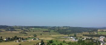
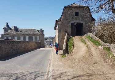
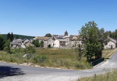
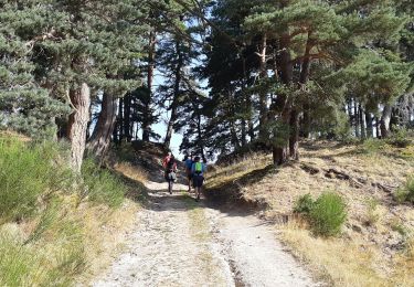
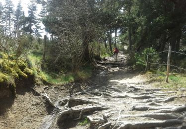
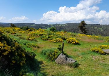
Randonnée Marche de 22 km à découvrir à Occitanie, Lozère, Saint-Alban-sur-Limagnole. Cette randonnée est proposée par countryside.
Description
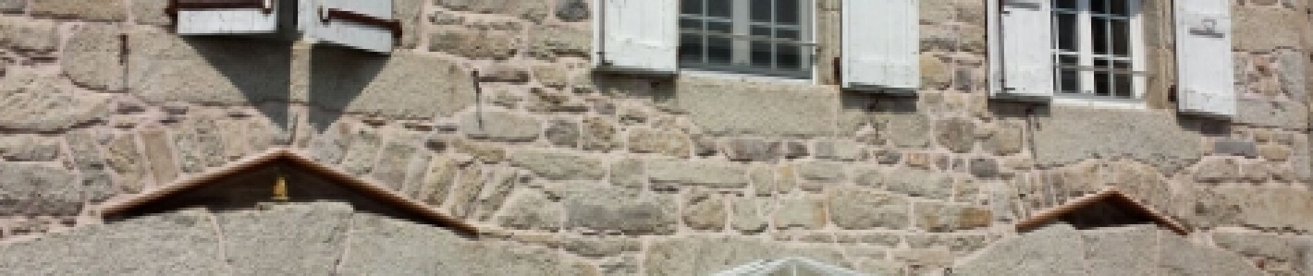
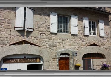
Saint-Jacques de Compostelle.
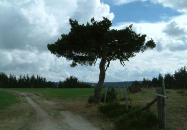
j'ai essayé de recenser, également les points d'eau sur le parcours. N'hésitez pas à m'en voyer des photos complémentaires !
Localisation
Pays :
France
Région :
Occitanie
Département/Province :
Lozère
Commune :
Saint-Alban-sur-Limagnole
Localité :
Unknown
Départ:(Dec)
Départ:(UTM)
533541 ; 4961310 (31T) N.
Commentaires
Randonnées à proximité
![Randonnée Marche Chanaleilles - Le Sauvage - Les Estrets - Chemin de Compostelle - Photo](https://media.geolcdn.com/t/375/260/ext.jpg?maxdim=2&url=https%3A%2F%2Fservices.sitytrail.com%2FGeolivesWS%2FDownloadMedia.ashx%3FTrailID%3D108148%26Media%3D205_6.jpg)
![Marche Marche](https://static1.geolcdn.com/sitytour/trail-icons/101.png)
Le Sauvage - Les Estrets - Chemin de Compostelle
Marche
Très difficile
(1)
Chanaleilles,
Auvergne-Rhône-Alpes,
Haute-Loire,
France
![](/images/other/stat-length.png)
21 km | 27 km-effort
5h 4min
![](https://static1.geolcdn.com/siteimages/upload/files/16400158638029165_repeat_loop_refresh_sync_direction_icon.png)
Non
![Randonnée Marche Lajo - La Roche Aumont Aubrac avril 2018 - Photo](https://media.geolcdn.com/t/375/260/ext.jpg?maxdim=2&url=https%3A%2F%2Fservices.sitytrail.com%2FGeolivesWS%2FDownloadMedia.ashx%3FTrailID%3D954975%26Media%3Dfix__20180419150024.jpg)
![Marche Marche](https://static1.geolcdn.com/sitytour/trail-icons/101.png)
La Roche Aumont Aubrac avril 2018
Marche
Difficile
Lajo,
Occitanie,
Lozère,
France
![](/images/other/stat-length.png)
24 km | 31 km-effort
7h 39min
![](https://static1.geolcdn.com/siteimages/upload/files/16400158638029165_repeat_loop_refresh_sync_direction_icon.png)
Non
![Randonnée Marche Sainte-Eulalie - circuit à Sainte Eulalie - Photo](https://media.geolcdn.com/t/375/260/528b5c8f-e39b-4fdf-9d7c-6a4b7f2d3357.jpg&format=jpg&maxdim=2)
![Marche Marche](https://static1.geolcdn.com/sitytour/trail-icons/101.png)
circuit à Sainte Eulalie
Marche
Facile
Sainte-Eulalie,
Occitanie,
Lozère,
France
![](/images/other/stat-length.png)
10,9 km | 14,4 km-effort
3h 16min
![](https://static1.geolcdn.com/siteimages/upload/files/16400158638029165_repeat_loop_refresh_sync_direction_icon.png)
Oui
![Randonnée Marche Saint-Alban-sur-Limagnole - DONNEPEAU - Photo](https://media.geolcdn.com/t/375/260/88537620-fe0e-4e5b-97df-83c48e4b5cb1.jpg&format=jpg&maxdim=2)
![Marche Marche](https://static1.geolcdn.com/sitytour/trail-icons/101.png)
DONNEPEAU
Marche
Facile
Saint-Alban-sur-Limagnole,
Occitanie,
Lozère,
France
![](/images/other/stat-length.png)
4,6 km | 6,5 km-effort
1h 24min
![](https://static1.geolcdn.com/siteimages/upload/files/16400158638029165_repeat_loop_refresh_sync_direction_icon.png)
Oui
![Randonnée Marche Saint-Alban-sur-Limagnole - LA LIMAGNOLE - Photo](https://media.geolcdn.com/t/375/260/117cce58-7902-43d3-8cdf-74d05f484ded.jpg&format=jpg&maxdim=2)
![Marche Marche](https://static1.geolcdn.com/sitytour/trail-icons/101.png)
LA LIMAGNOLE
Marche
Moyen
Saint-Alban-sur-Limagnole,
Occitanie,
Lozère,
France
![](/images/other/stat-length.png)
9,2 km | 13,4 km-effort
2h 57min
![](https://static1.geolcdn.com/siteimages/upload/files/16400158638029165_repeat_loop_refresh_sync_direction_icon.png)
Oui
![Randonnée Marche Chanaleilles - Le Sauvage - Aumont-Aubrac - Photo](https://media.geolcdn.com/t/375/260/ext.jpg?maxdim=2&url=https%3A%2F%2Fservices.sitytrail.com%2FGeolivesWS%2FDownloadMedia.ashx%3FTrailID%3D410400%26Media%3Dfix__20150420141537.jpg)
![Marche Marche](https://static1.geolcdn.com/sitytour/trail-icons/101.png)
Le Sauvage - Aumont-Aubrac
Marche
Très difficile
Chanaleilles,
Auvergne-Rhône-Alpes,
Haute-Loire,
France
![](/images/other/stat-length.png)
31 km | 39 km-effort
8h 44min
![](https://static1.geolcdn.com/siteimages/upload/files/16400158638029165_repeat_loop_refresh_sync_direction_icon.png)
Non
![Randonnée Marche Saint-Alban-sur-Limagnole - Étape 4 - Photo](https://media.geolcdn.com/t/375/260/ext.jpg?maxdim=2&url=https%3A%2F%2Fservices.sitytrail.com%2FGeolivesWS%2FDownloadMedia.ashx%3FTrailID%3D206265%26Media%3Dfix__20130708155458.jpg)
![Marche Marche](https://static1.geolcdn.com/sitytour/trail-icons/101.png)
Étape 4
Marche
Moyen
Saint-Alban-sur-Limagnole,
Occitanie,
Lozère,
France
![](/images/other/stat-length.png)
22 km | 28 km-effort
5h 29min
![](https://static1.geolcdn.com/siteimages/upload/files/16400158638029165_repeat_loop_refresh_sync_direction_icon.png)
Non
![Randonnée Marche Saint-Alban-sur-Limagnole - Étape 4 - Photo](https://media.geolcdn.com/t/375/260/ext.jpg?maxdim=2&url=https%3A%2F%2Fservices.sitytrail.com%2FGeolivesWS%2FDownloadMedia.ashx%3FTrailID%3D203615%26Media%3Dfix__20130708155458.jpg)
![Marche Marche](https://static1.geolcdn.com/sitytour/trail-icons/101.png)
Étape 4
Marche
Moyen
Saint-Alban-sur-Limagnole,
Occitanie,
Lozère,
France
![](/images/other/stat-length.png)
22 km | 28 km-effort
5h 29min
![](https://static1.geolcdn.com/siteimages/upload/files/16400158638029165_repeat_loop_refresh_sync_direction_icon.png)
Non
![Randonnée Marche Lajo - live Lajo - Aumont Aubrac - Photo](https://media.geolcdn.com/t/375/260/a40d89f4-04f8-4727-a669-2407ac05bf0d.jpg&format=jpg&maxdim=2)
![Marche Marche](https://static1.geolcdn.com/sitytour/trail-icons/101.png)
live Lajo - Aumont Aubrac
Marche
Difficile
Lajo,
Occitanie,
Lozère,
France
![](/images/other/stat-length.png)
26 km | 33 km-effort
7h 32min
![](https://static1.geolcdn.com/siteimages/upload/files/16400158638029165_repeat_loop_refresh_sync_direction_icon.png)
Non