


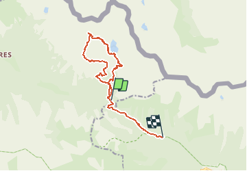

7,8 km | 16,3 km-effort


Utilisateur


Application GPS de randonnée GRATUITE
 SityTrail
IGN / Instituts géographiques
SityTrail World
Le monde est à vous
Randonnée Marche de 13 km à découvrir à Provence-Alpes-Côte d'Azur, Alpes-Maritimes, Valdeblore. Cette randonnée est proposée par rubentha.
Attention :
* le GPS s'est mis en marche au col de Salèse mais la promenade démarre au parking,
* une grande partie du parcours se déroule hors sentier (cailloux instables ... etc ...).

Marche

Marche

A pied

A pied

A pied

Marche

Marche
Marche
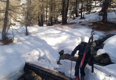
Ski de randonnée