


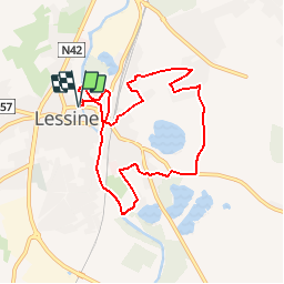


7,5 km | 8,8 km-effort

Randonnées de RandoFamili


Application GPS de randonnée GRATUITE
 SityTrail
IGN / Instituts géographiques
SityTrail World
Le monde est à vous
Randonnée Marche de 7,6 km à découvrir à Wallonie, Hainaut, Lessines. Cette randonnée est proposée par Rando Famili.
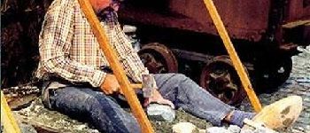
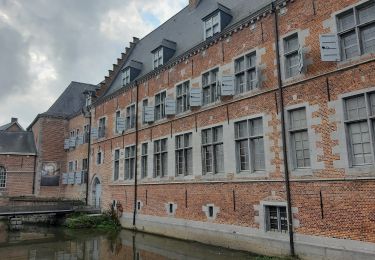
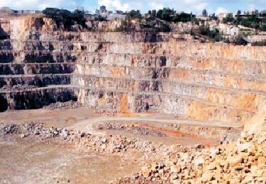
<p> Votre point de départ : le site impressionnant de l’Hôpital Notre-Dame à la Rose, aujourd’hui reconnu comme Patrimoine majeur de Wallonie. Fondé au XIIIe siècle, il est le témoin de huit siècles de médecine et d’histoire. C’est là que de nombreux ouvriers carriers furent soignés au XIXe siècle. Car Lessines est bien le pays de l’extraction de la pierre. Ses anciennes carrières, ses quais de chargement et ses maisons d’ouvriers marquent aujourd’hui encore le passé industriel de la ville. </p>


A pied
Cheval

Cheval
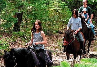
Cheval

A pied

A pied
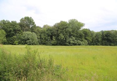
A pied

A pied

A pied