


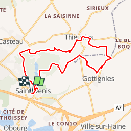


9,1 km | 10,3 km-effort

Utilisateur GUIDE


Application GPS de randonnée GRATUITE
 SityTrail
IGN / Instituts géographiques
SityTrail World
Le monde est à vous
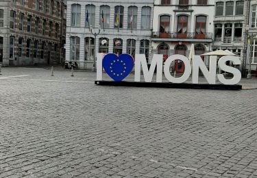
Randonnée Marche de 16,7 km à découvrir à Wallonie, Hainaut, Mons. Cette randonnée est proposée par rvapeldo.
Vallée boisée à deux pas de Mons et de Soignies. Avec les restes d’une abbaye transformés en logements.
F


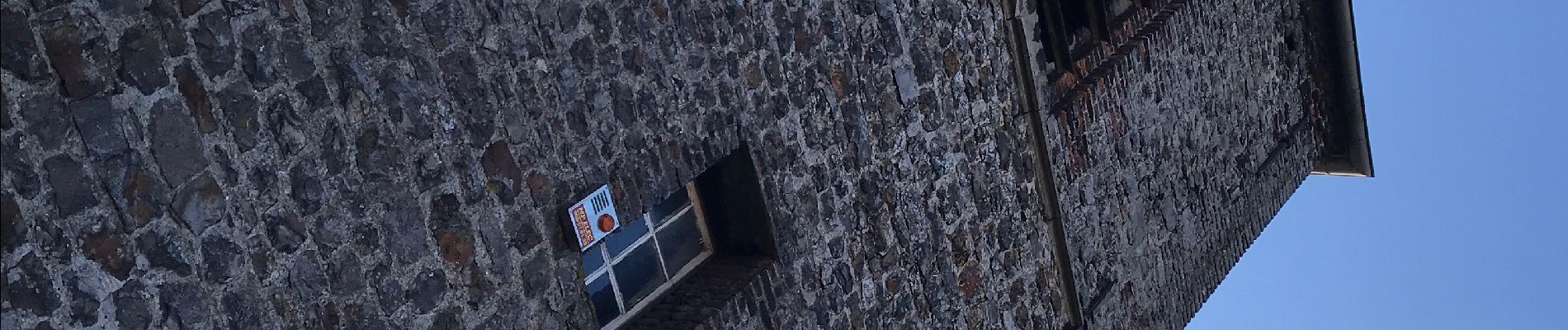
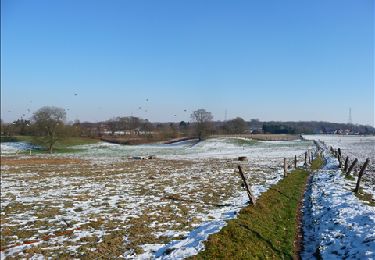
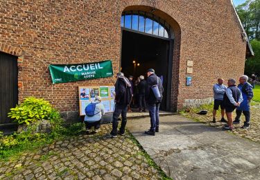
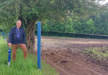
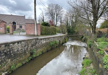
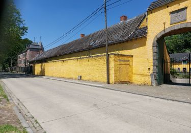
31 photos au total. Cliquez sur une photo pour les afficher toutes dans la galerie.
Marche

Marche
Marche
Marche
Marche
Marche

Marche
Marche