


6,3 km | 6,7 km-effort

Utilisateur


Application GPS de randonnée GRATUITE
 SityTrail
IGN / Instituts géographiques
SityTrail World
Le monde est à vous
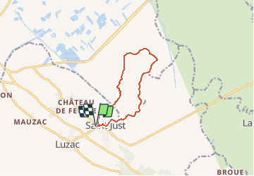
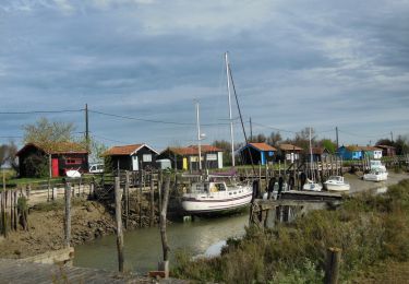
Randonnée A pied de 9,4 km à découvrir à Nouvelle-Aquitaine, Charente-Maritime, Saint-Just-Luzac. Cette randonnée est proposée par Jos17.
Départ de l'église
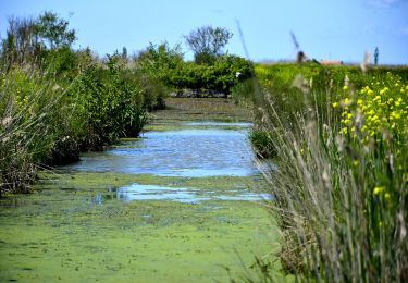
rando très facile au milieu des marais.
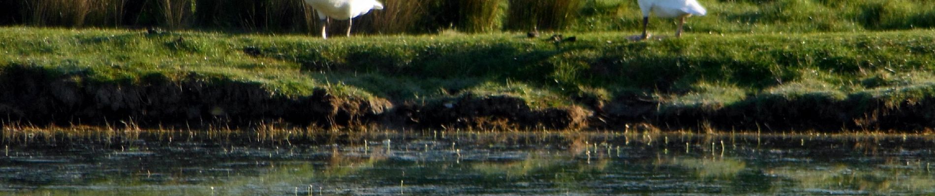
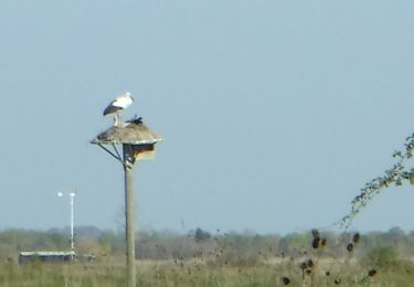
A faire au printemps, quand les cigognes sont arrivées,
 17 -9km4 - Photo 1")
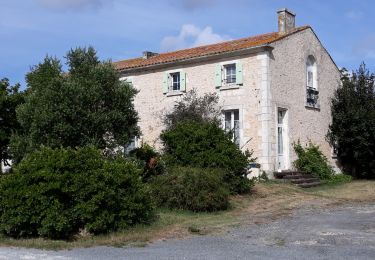
 17 -9km4 - Photo 2")
 17 -9km4 - Photo 3")

Marche

Marche
Marche
Marche
Marche
Marche

Marche
A pied
Marche