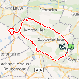

27 km | 40 km-effort

Utilisateur


Application GPS de randonnée GRATUITE
 SityTrail
IGN / Instituts géographiques
SityTrail World
Le monde est à vous
Randonnée Marche de 16,3 km à découvrir à Grand Est, Haut-Rhin, Le Haut-Soultzbach. Cette randonnée est proposée par Richard68500.
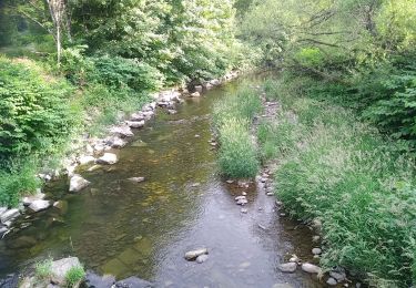
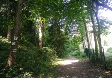
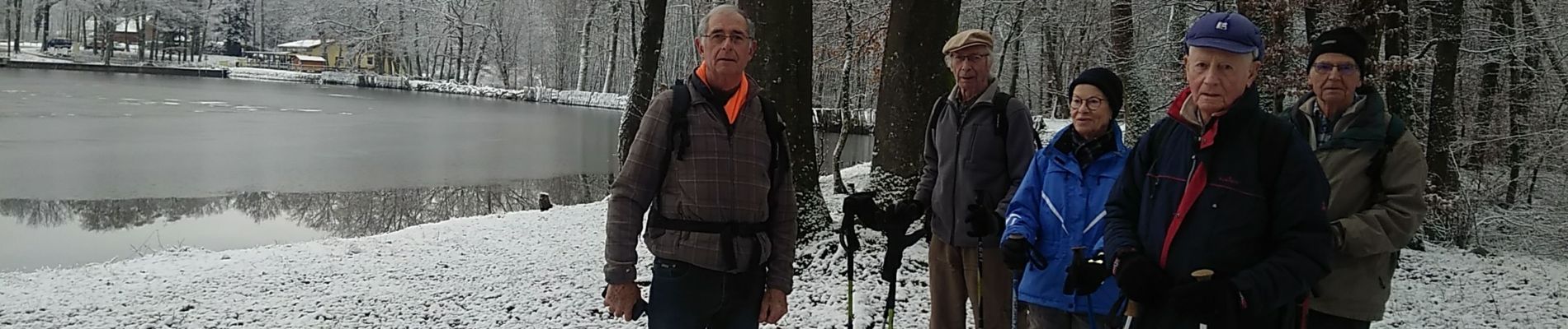
Le lac de la Seigneurie vous le offre un paysage de grande qualité, entouré de forêts de sapins et de somptueuses hêtraies
Le site est équipé d'aires de jeux pour les enfants, de terrains de boules et de volley et d'une aire de pique-nique.
 - Photo 1")
 - Photo 2")
 - Photo 3")
 - Photo 4")
 - Photo 5")

Marche

Marche

A pied

A pied

Marche

Marche