


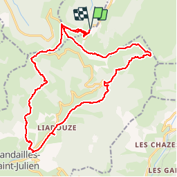

18,8 km | 28 km-effort

Utilisateur


Application GPS de randonnée GRATUITE
 SityTrail
IGN / Instituts géographiques
SityTrail World
Le monde est à vous
Randonnée Marche de 24 km à découvrir à Auvergne-Rhône-Alpes, Cantal, Lavigerie. Cette randonnée est proposée par GilGry.
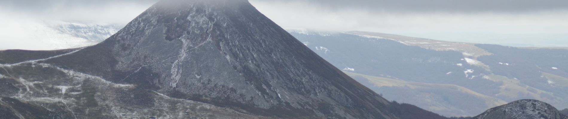
Pas de Peyrol - Puy Mary - La brèche de Rolland - Col de cabre - Vallée de la Jouanne - Cascade du Luc - Mandailles - Puy Chavaroche pour le flanc - Pas de Peyrol.
Météo pourrie Moyen du parcours - Tracé modifié en s détournant de la crête du Puy Chavaroche


Marche

Marche

Marche

Marche

Marche

Marche
Marche
Marche

Trail