


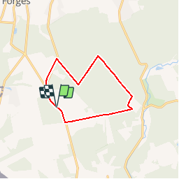

9,5 km | 12,1 km-effort


Utilisateur


Application GPS de randonnée GRATUITE
 SityTrail
IGN / Instituts géographiques
SityTrail World
Le monde est à vous
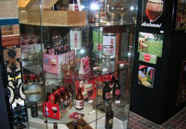
Randonnée Marche nordique de 9,8 km à découvrir à Wallonie, Hainaut, Chimay. Cette randonnée est proposée par Bilboquet.
Vers les sources de l'Oise (2 sources principales), affluent de la Seine. Voir près de la Ferme de la Haute Grange (1796) la chapelle dédiée à Sainte-Rolende.

Marche
Marche
Marche
Marche
Marche
Marche
Marche
Marche
Marche
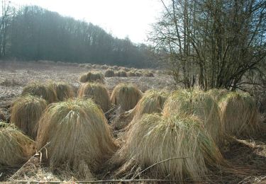
poteau pré