


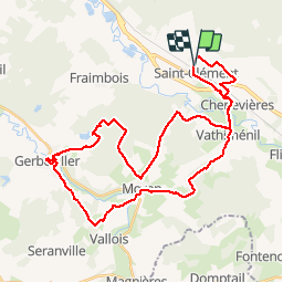

49 km | 54 km-effort

Utilisateur GUIDE


Application GPS de randonnée GRATUITE
 SityTrail
IGN / Instituts géographiques
SityTrail World
Le monde est à vous
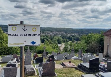
Randonnée V.T.T. de 40 km à découvrir à Grand Est, Meurthe-et-Moselle, Saint-Clément. Cette randonnée est proposée par fabwin.
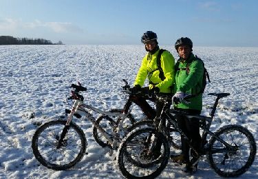
Avec Séb, Maxime, Luca.
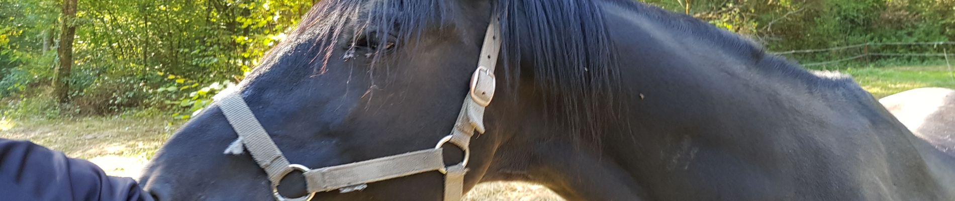
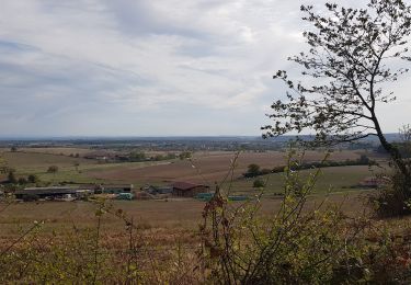
Encore un temps magnifique. On a évité les chasseurs et eu le plaisir de voir un chevreuil.
Il est dommage que les chemins en forêt ne soit plus entretenus.
Sinon sortie agréable avec ce temps d'été.


V.T.T.
V.T.T.

V.T.T.
V.T.T.
V.T.T.
V.T.T.
V.T.T.
V.T.T.
Vélo électrique