


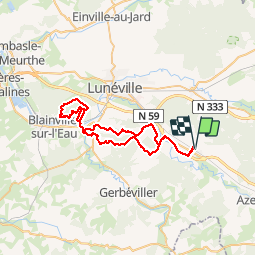

49 km | 54 km-effort


Utilisateur GUIDE


Application GPS de randonnée GRATUITE
 SityTrail
IGN / Instituts géographiques
SityTrail World
Le monde est à vous
Randonnée V.T.T. de 51 km à découvrir à Grand Est, Meurthe-et-Moselle, Saint-Clément. Cette randonnée est proposée par fabwin.
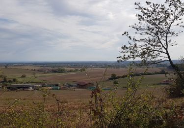
Sortie écourtée, mais intéressante. A revoir les sentiers dans la forêt de Vitrimont!
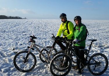
Avec Ange et David
Ange mal au jambe donc obligé de racourcir la fin, les 60 km seront pour une autre fois!
V.T.T.
V.T.T.

V.T.T.
V.T.T.
V.T.T.
V.T.T.
V.T.T.
V.T.T.
Vélo électrique