


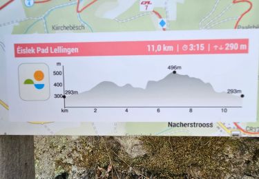
7,1 km | 9,5 km-effort


Randonnées de Visit Luxembourg. GUIDE+


Application GPS de randonnée GRATUITE
 SityTrail
IGN / Instituts géographiques
SityTrail World
Le monde est à vous
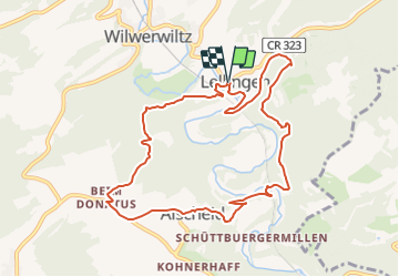
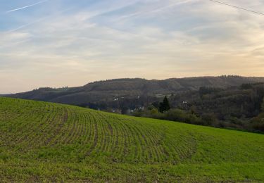
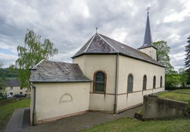
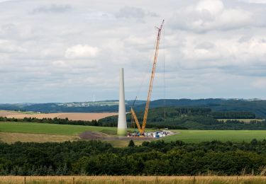
Randonnée Marche de 9,5 km à découvrir à Inconnu, Canton Wiltz, Kiischpelt. Cette randonnée est proposée par Visit Luxembourg.
Marche
Marche
Marche
Marche
Marche
Marche
Marche
A pied
A pied
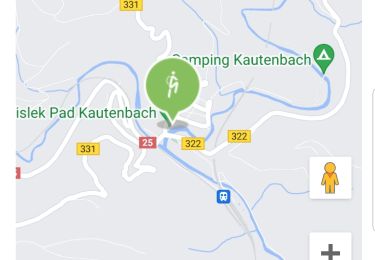
⚠️⚠️ Info au départ de la rando : "le parcours à été démonté" > plus de balisage.