


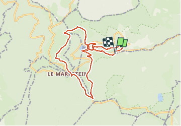

14 km | 19,8 km-effort

Utilisateur

Application GPS de randonnée GRATUITE
 SityTrail
IGN / Instituts géographiques
SityTrail World
Le monde est à vous
Randonnée Marche de 17,2 km à découvrir à Grand Est, Haut-Rhin, Linthal. Cette randonnée est proposée par Richard68500.
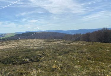
Le Markstein est une station de sport d'hiver, d'été et de détente (luge d'été et parapente) française, située dans le massif des Vosges, comprise entre 1 040 et 1 265 m d'altitude sur le passage de la route des Crêtes. Elle forme un ensemble de ski de fond avec le site du Breitfirst et la haute route nordique, à péage, la reliant également au Grand Ballon.
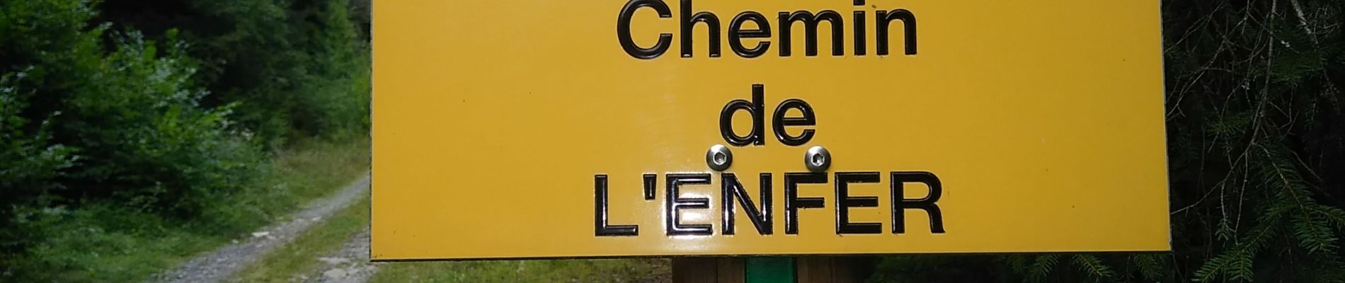
Randonnée difficile voir dangereuse sur le chemin du retour, pratiquement pas sécurisé.
Excellente restauration à la Ferme du Markstein *****
 - Photo 1")
 - Photo 2")
 - Photo 3")
 - Photo 4")
 - Photo 5")
 - Photo 6")
 - Photo 7")
 - Photo 8")
 - Photo 9")
 - Photo 10")

Marche

Marche

Marche

Marche

A pied

V.T.T.
Marche

Marche

Marche