


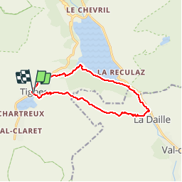


12,6 km | 20 km-effort

Utilisateur GUIDE


Application GPS de randonnée GRATUITE
 SityTrail
IGN / Instituts géographiques
SityTrail World
Le monde est à vous
Randonnée Marche de 12,8 km à découvrir à Auvergne-Rhône-Alpes, Savoie, Tignes. Cette randonnée est proposée par Alfredy.
Une randonnée assez difficile. Beaux paysages. On longe la rivière de l'Isère puis le lac de Chevryl et enfin on remonte en longeant de belles cascades. Top !


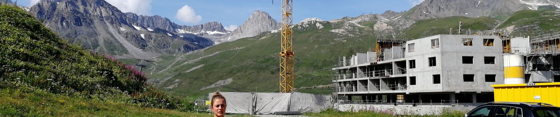
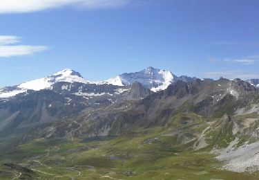
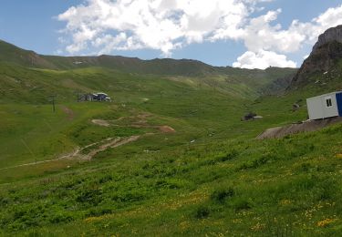
27 photos au total. Cliquez sur une photo pour les afficher toutes dans la galerie.

Marche

Marche
Marche

Marche

Marche

Autre activité

Marche

Marche
V.T.T.