


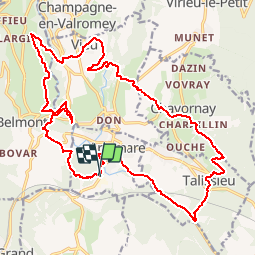

16,4 km | 21 km-effort


Utilisateur


Application GPS de randonnée GRATUITE
 SityTrail
IGN / Instituts géographiques
SityTrail World
Le monde est à vous
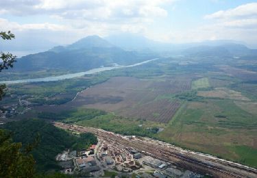
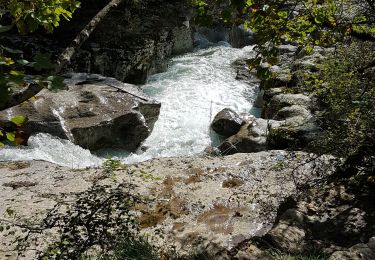
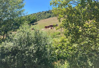
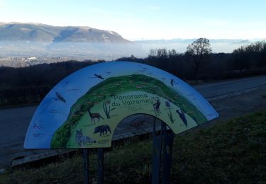
Randonnée V.T.T. de 24 km à découvrir à Auvergne-Rhône-Alpes, Ain, Artemare. Cette randonnée est proposée par jeannot01.
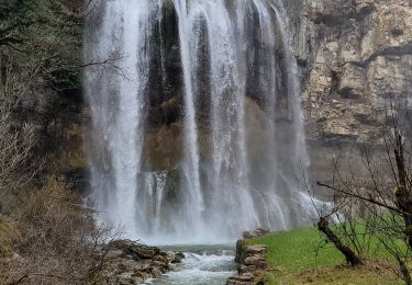
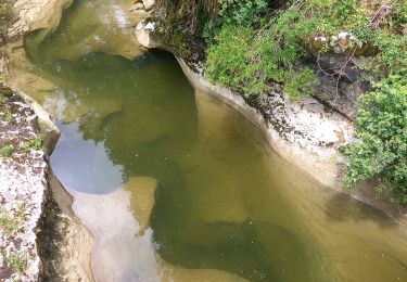
Si vous aimez les pt de vue et les beaux paysages, il faut faire cette rando!!!

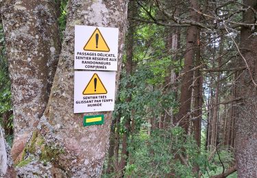
V.T.T.
Marche
Marche
Marche

Marche
Marche
Marche
Marche
Marche