


13,4 km | 19,1 km-effort


Utilisateur


Application GPS de randonnée GRATUITE
 SityTrail
IGN / Instituts géographiques
SityTrail World
Le monde est à vous
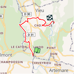
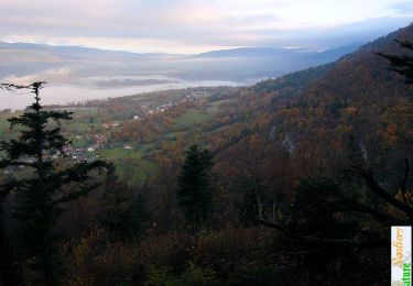
Randonnée Marche de 4,7 km à découvrir à Auvergne-Rhône-Alpes, Ain, Valromey-sur-Séran. Cette randonnée est proposée par jeannot01.
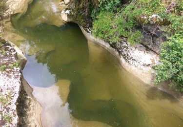
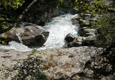
Petite rando avec cde magnifiques points d'intérets:
cascade de cerveyrieu, gorges de turignin et source du groin.
Marche

Marche
Marche
Marche
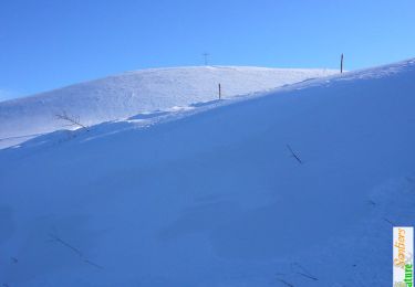
Raquettes à neige
Marche
Marche
Marche
Marche