


49 km | 54 km-effort

Utilisateur GUIDE


Application GPS de randonnée GRATUITE
 SityTrail
IGN / Instituts géographiques
SityTrail World
Le monde est à vous
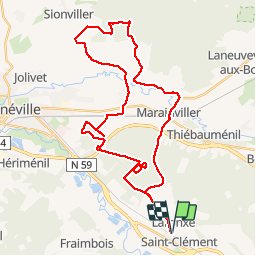
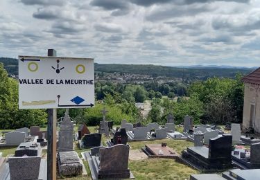
Randonnée V.T.T. de 41 km à découvrir à Grand Est, Meurthe-et-Moselle, Saint-Clément. Cette randonnée est proposée par fabwin.
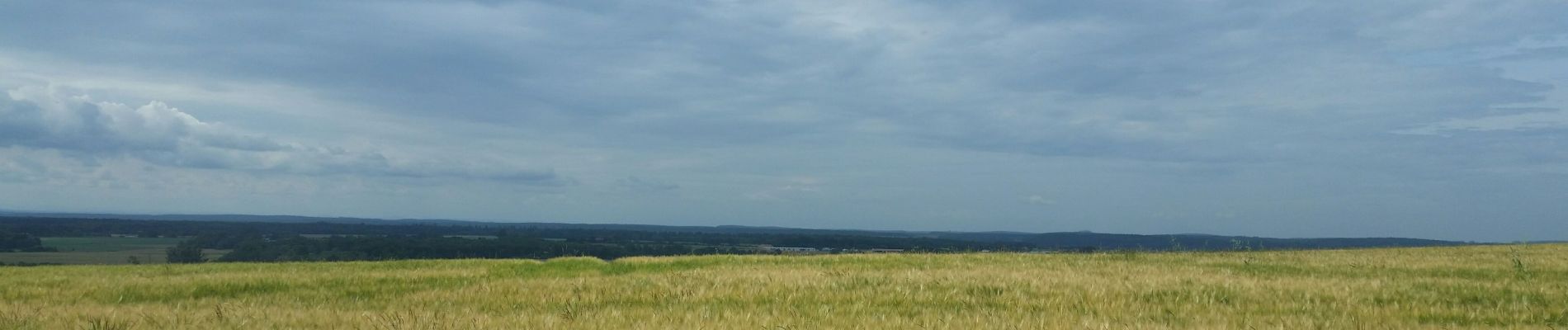
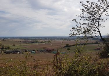
belle sortie pour la fête des pères.
On ne parlera pas de ma méforme pour cette sortie mais bon, des fois ca ne va pas comme on le voudrait.
Avec Séb, Ange et papa.


V.T.T.
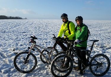
V.T.T.

V.T.T.
V.T.T.
V.T.T.
V.T.T.
V.T.T.
V.T.T.
Vélo électrique