


5,9 km | 8,2 km-effort

Utilisateur GUIDE


Application GPS de randonnée GRATUITE
 SityTrail
IGN / Instituts géographiques
SityTrail World
Le monde est à vous
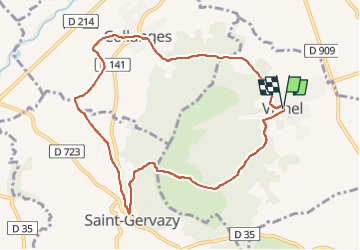
Randonnée Marche de 9,4 km à découvrir à Auvergne-Rhône-Alpes, Puy-de-Dôme, Vichel. Cette randonnée est proposée par jagarnier.
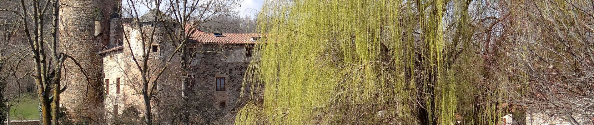
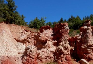
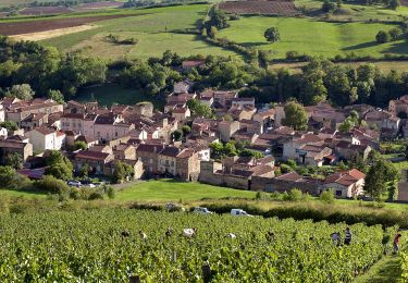
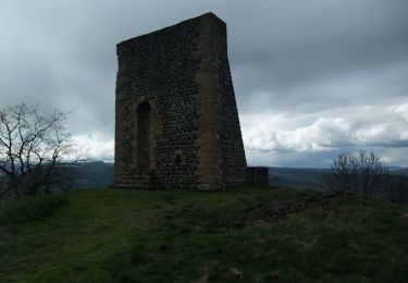
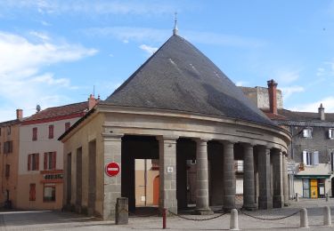
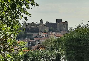
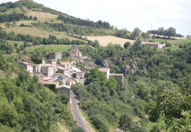
Tout au long de cette boucle, vous trouverez des anciens villages vignerons portant les traces d'un moyen age fortifié, des champs de terre rouge et la chaux de Montcelet avec sa tour sentinelle dans un décor de savane.


Marche
Marche
Marche
Marche
A pied
A pied
A pied

Marche
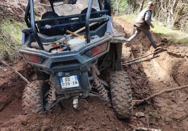
Quad