


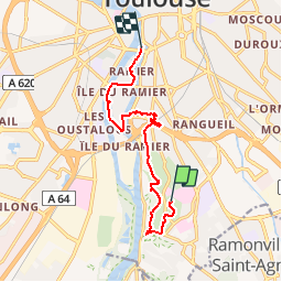

9,3 km | 11 km-effort


Un grand voyage à pied, à travers Toulouse, pour le plaisir et pour la santé !


Application GPS de randonnée GRATUITE
 SityTrail
IGN / Instituts géographiques
SityTrail World
Le monde est à vous
Randonnée Marche de 10,5 km à découvrir à Occitanie, Haute-Garonne, Toulouse. Cette randonnée est proposée par Transtoulousaine.
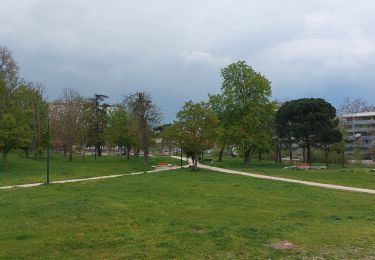
Pech David - Empalot - le Ramier

Marche

Marche

Marche

Marche

Marche
Marche
Marche
Marche

Marche