


4,1 km | 6,7 km-effort


Utilisateur


Application GPS de randonnée GRATUITE
 SityTrail
IGN / Instituts géographiques
SityTrail World
Le monde est à vous
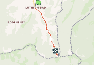
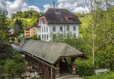
Randonnée Autre activité de 3,3 km à découvrir à Lucerne, Inconnu, Luthern. Cette randonnée est proposée par bayardpaul.
Leubin-Huber Hansrudolf
Bahnhofstrasse 51
4132 Muttenz
061 461 43 28
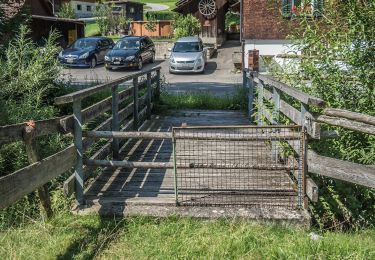
A pied
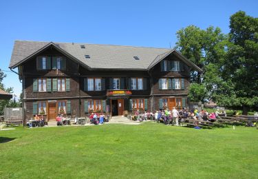
A pied
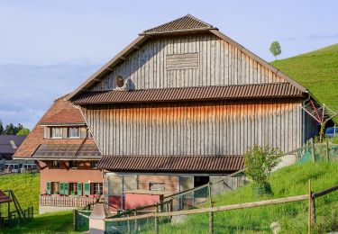
A pied

A pied
A pied
A pied
A pied