


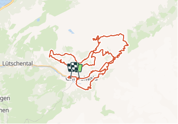

4,2 km | 7 km-effort


Utilisateur


Application GPS de randonnée GRATUITE
 SityTrail
IGN / Instituts géographiques
SityTrail World
Le monde est à vous
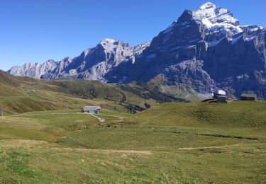
Randonnée Sports d'hiver de 53 km à découvrir à Berne, Arrondissement administratif d'Interlaken-Oberhasli, Grindelwald. Cette randonnée est proposée par remo.
6. Eiger Bike Challenge, Grindelwald
Hinweis: Die Trackdaten können auf http://www.remosworld.ch gratis gedownloadet werden.
A pied
A pied
A pied
Marche

Autre activité

Marche

V.T.T.
Marche

Marche