28 km | 38 km-effort
lichos/st Palais
puchol
Utilisateur
Longueur
24 km
Altitude max
213 m
Dénivelé positif
539 m
Km-Effort
31 km
Altitude min
56 m
Dénivelé négatif
616 m
Boucle
Non
Date de création :
2019-02-15 09:12:18.125
Dernière modification :
2019-02-15 09:12:18.135
6h37
Difficulté : Facile
Application GPS de randonnée GRATUITE
À propos
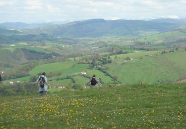
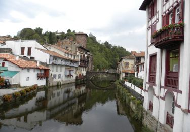
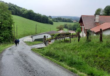
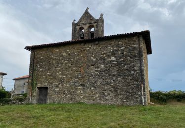
Randonnée Marche de 24 km à découvrir à Nouvelle-Aquitaine, Pyrénées-Atlantiques, Charritte-de-Bas. Cette randonnée est proposée par puchol.
Description
parcours Compostelle
Localisation
Pays :
France
Région :
Nouvelle-Aquitaine
Département/Province :
Pyrénées-Atlantiques
Commune :
Charritte-de-Bas
Localité :
Unknown
Départ:(Dec)
Départ:(UTM)
671508 ; 4796557 (30T) N.
Commentaires
Randonnées à proximité
CC_Velay_GB_29_Lichos_Ostabat-Asme_20090413
Marche
Moyen
Lichos,
Nouvelle-Aquitaine,
Pyrénées-Atlantiques,
France
7h 30min
Non
Mon Compostelle Quinzième étape
Marche
Très difficile
Lichos,
Nouvelle-Aquitaine,
Pyrénées-Atlantiques,
France
52 km | 67 km-effort
10h 25min
Non
8 charritte
Marche
Difficile
Charritte-de-Bas,
Nouvelle-Aquitaine,
Pyrénées-Atlantiques,
France
23 km | 30 km-effort
7h 4min
Non
GR 65 Lichos > Ahransus
Marche
Facile
Lichos,
Nouvelle-Aquitaine,
Pyrénées-Atlantiques,
France
23 km | 30 km-effort
5h 22min
Non
Compostelle Aroue Larceveau
Marche
Difficile
Aroue-Ithorots-Olhaïby,
Nouvelle-Aquitaine,
Pyrénées-Atlantiques,
France
31 km | 41 km-effort
6h 38min
Non
Camino 1 étape 30 du 24.08.2023
Marche
Moyen
Aroue-Ithorots-Olhaïby,
Nouvelle-Aquitaine,
Pyrénées-Atlantiques,
France
24 km | 33 km-effort
8h 58min
Non
StJ-J43-Lichos-Ostabat
Marche
Très facile
Lichos,
Nouvelle-Aquitaine,
Pyrénées-Atlantiques,
France
25 km | 34 km-effort
7h 3min
Non
St Jacques Etape 35
Marche
Facile
Aroue-Ithorots-Olhaïby,
Nouvelle-Aquitaine,
Pyrénées-Atlantiques,
France
29 km | 39 km-effort
8h 12min
Non
De Landaco à Harembeltz vendredi 6 juillet
Marche nordique
Moyen
Aroue-Ithorots-Olhaïby,
Nouvelle-Aquitaine,
Pyrénées-Atlantiques,
France
21 km | 28 km-effort
8h 4min
Non