


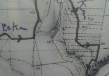
28 km | 36 km-effort

Utilisateur


Application GPS de randonnée GRATUITE
 SityTrail
IGN / Instituts géographiques
SityTrail World
Le monde est à vous
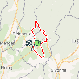
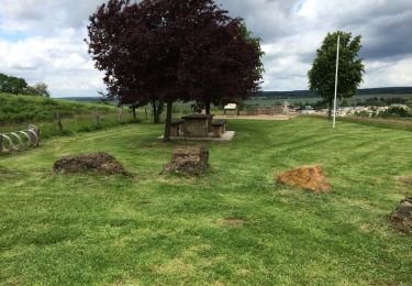
Randonnée Marche de 7,9 km à découvrir à Grand Est, Ardennes, Illy. Cette randonnée est proposée par tracegps.
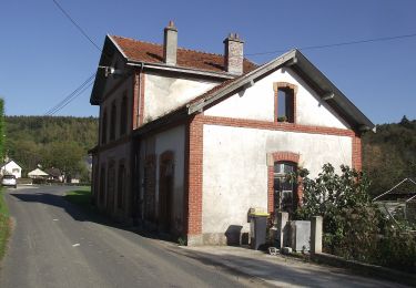
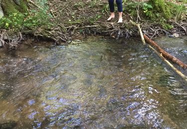
Départ de la mairie d'ILLY. le chemin prend la direction de la forêts puis descend à La Hatrelle où il y a une maison forte qui a résisté en 1940 (impactes de tir), traversez la rivière prendre à droite pour rejoindre le tracé du Bouillonnais(chemin de fer Sedan-Bouillon, arrêté en 1933) plusieurs tranchées taillées dans le schiste, point de vue sur la rivière en contrebas. Passez devant la château d'Olly (ancienne filature), en face monument de soldats morts en 1970. Voir l'ancienne gare transfrontalière d'lly. Retour sur ILLY église et temple du 19 ème.


Marche
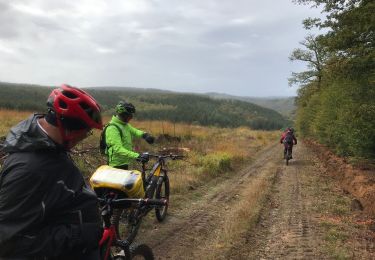
V.T.T.
Marche nordique
A pied
V.T.T.
Marche
Marche

V.T.T.

V.T.T.