Randonnée Marche Saint-Jean-du-Doigt - Randonnée de Saint Jean du Doigt à Primel Trégastel - Photo

Randonnée de Saint Jean du Doigt à Primel Trégastel

 tracegps
tracegps

Utilisateur

© OpenStreetMap contributors
Longueur
Longueur
13 km
Altitude max
Altitude max
88 m
Dénivelé positif
Dénivelé positif
239 m
Km-Effort
Km-Effort  
16,2 km
Altitude min
Altitude min
1 m
Dénivelé négatif
Dénivelé négatif
237 m
Boucle
Boucle
Oui
Date de création :
2014-12-10 00:00:00.0
Dernière modification :
2014-12-10 00:00:00.0

(0 Avis)

Marche
Marche
3h00
Difficulté : Moyen

Scannez ce code QR pour ouvrir la randonnée dans l'application SityTrail

Application GPS de randonnée GRATUITE

Logo SityTrail SityTrail

IGN / Instituts géographiques

Télécharger SityTrail sur l'App Store Télécharger SityTrail sur Google Play

Logo SityTrail SityTrail World

Le monde est à vous

Télécharger SityTrail sur l'App Store Télécharger SityTrail sur Google Play Télécharger SityTrail sur Huawei AppGallery

À propos

Randonnée Marche de 13 km à découvrir à Bretagne, Finistère, Saint-Jean-du-Doigt. Cette randonnée est proposée par tracegps.

Description

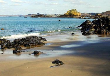
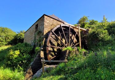
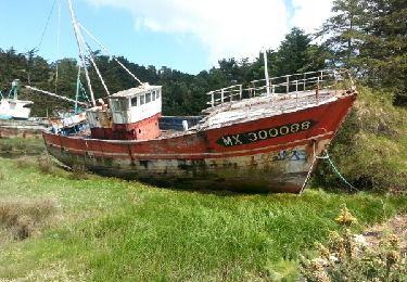
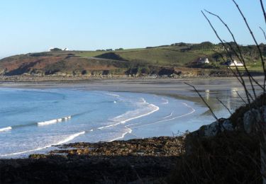
Boucle sur la côte nord finistérienne. Saint Jean du Doigt, Plougasnou, Primel Trégastel. Boucle qui emprunte le chemin des douaniers GR34 et retour par l'intérieur avec de superbes points de vue. Patrimoine religieux (églises, oratoire....), vestige du mur de l Atlantique (blockhaus....)

Profil altimétrique

Photos

Localisation

Pays :
France
Région :
Bretagne
Département/Province :
Finistère
Commune :
Saint-Jean-du-Doigt
Localité :
Unknown
Départ:(Dec)
Départ:(UTM)
442807 ; 5394653 (30U) N.

Randonnées à proximité

Randonnée Marche Saint-Jean-du-Doigt - St Jean du Doigt et la Côte de l'Armorique - Photo
Marche
tracegps

Marche

Très difficile
(1)
Saint-Jean-du-Doigt, Bretagne, Finistère, France
18,4 km | 24 km-effort
4h 30min
Oui
Randonnée Marche Guimaëc - Bretagne nord j6  am : De Guimaec à Locquirec - Photo
Marche
GUIDE
chessyca

Marche

Très facile
Guimaëc, Bretagne, Finistère, France
10,5 km | 13,2 km-effort
3h 14min
Non
Randonnée Marche Plougasnou - Bretagne nord J5 De Plougasnou à Guimaec - Photo
Marche
GUIDE
chessyca

Marche

Difficile
Plougasnou, Bretagne, Finistère, France
21 km | 29 km-effort
5h 51min
Non
Randonnée Marche nordique Guimaëc - guimaec loquirec - Photo
Marche nordique
elianette

Marche nordique

Très facile
(1)
Guimaëc, Bretagne, Finistère, France
8,7 km | 11,2 km-effort
2h 30min
Non
Randonnée Marche Guimaëc - GR 34 de Velizella à plage de St Jean du doigt - Photo
Marche
Corto2023

Marche

Moyen
Guimaëc, Bretagne, Finistère, France
7,2 km | 11,5 km-effort
2h 51min
Non
Randonnée Marche Guimaëc - Circuit de Beg An Fry - Photo
Marche
Dervalmarc

Marche

Moyen
Guimaëc, Bretagne, Finistère, France
8,2 km | 11,5 km-effort
3h 18min
Oui
Randonnée Marche Guimaëc - GR 34 étape 22 - Photo
Marche
lagardienne

Marche

Moyen
Guimaëc, Bretagne, Finistère, France
27 km | 36 km-effort
8h 37min
Non
Randonnée Marche Saint-Jean-du-Doigt - De St Jean du Doigt à Plougasnou - Photo
Marche
tracegps

Marche

Facile
Saint-Jean-du-Doigt, Bretagne, Finistère, France
4,9 km | 6,5 km-effort
1h 15min
Oui
Randonnée Marche Plougasnou - St. jean du doigtions - Photo
Marche
donnay

Marche

Facile
Plougasnou, Bretagne, Finistère, France
13,4 km | 16,8 km-effort
4h 37min
Non


Fermer
Mes abonnements