


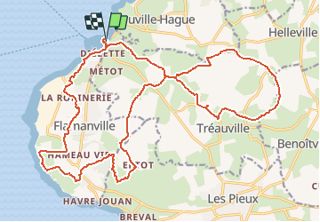

23 km | 28 km-effort

Utilisateur


Application GPS de randonnée GRATUITE
 SityTrail
IGN / Instituts géographiques
SityTrail World
Le monde est à vous
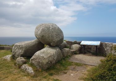
Randonnée V.T.T. de 25 km à découvrir à Normandie, Manche, Tréauville. Cette randonnée est proposée par tracegps.
Un parcours qui limite les chasses boueuses, je n’aime pas la boue... Bref, un parcours de remise en forme. Bien sûr, il y a plein de variantes à partir de ce tracé et ça se fait trankilou en 1h45. Amusez vous bien !


Marche

Marche
Marche
Marche

V.T.T.

V.T.T.

Course à pied
Marche