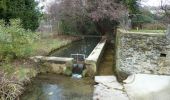
Randonnée Marche Cavillargues - Randonnée autour de Cavillargues - Photo

Randonnée autour de Cavillargues

 tracegps
tracegps

Utilisateur

© OpenStreetMap contributors
Longueur
Longueur
17,8 km
Altitude max
Altitude max
242 m
Dénivelé positif
Dénivelé positif
368 m
Km-Effort
Km-Effort  
23 km
Altitude min
Altitude min
119 m
Dénivelé négatif
Dénivelé négatif
367 m
Boucle
Boucle
Oui
Date de création :
2014-12-10 00:00:00.0
Dernière modification :
2014-12-10 00:00:00.0

(0 Avis)

Marche
Marche
5h00
Difficulté : Moyen

Scannez ce code QR pour ouvrir la randonnée dans l'application SityTrail

Application GPS de randonnée GRATUITE

Logo SityTrail SityTrail
IGN / Instituts géographiques

Télécharger SityTrail sur l'App Store Télécharger SityTrail sur Google Play

Logo SityTrail SityTrail World

Le monde est à vous

Télécharger SityTrail sur l'App Store Télécharger SityTrail sur Google Play Télécharger SityTrail sur Huawei AppGallery

À propos

Randonnée Marche de 17,8 km à découvrir à Occitanie, Gard, Cavillargues. Cette randonnée est proposée par tracegps.

Description

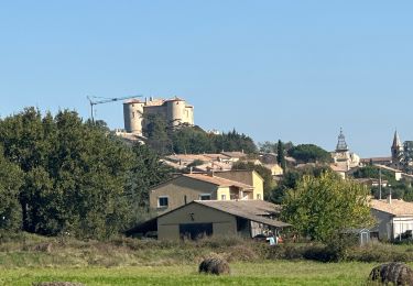
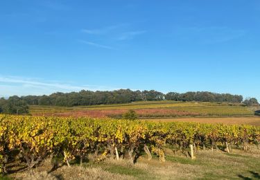
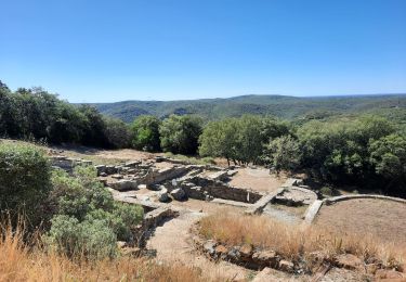
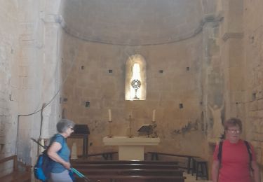
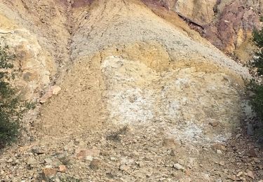
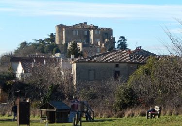
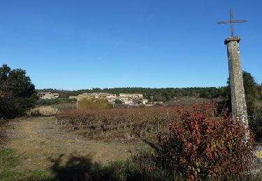
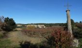
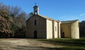
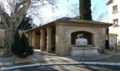
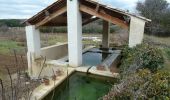
Voici deux boucles au départ de Cavillargues, la plus courte au sud (6.5km) et l'autre au nord (11km). Départ du "parking des randonneurs". Coin pique-nique possible, à la chapelle St Sépulcre. En chemin la chapelle st sépulcre, quelques croix et le moulin d'Auzigue, ainsi qu'un parcours forestier. Rando facile sur de bons chemins, quelques beaux lavoirs à visiter en cours de route. Bonne balade.

Profil altimétrique

Photos

Localisation

Pays :
France
Région :
Occitanie
Département/Province :
Gard
Commune :
Cavillargues
Localité :
Unknown
Départ:(Dec)
Départ:(UTM)
621475 ; 4885671 (31T) N.

Randonnées à proximité

Randonnée sport La Bastide-d'Engras - La Bastide D’Englas Pougnadoresse - Photo
sport
alinetpierre

sport

Très facile
La Bastide-d'Engras, Occitanie, Gard, France
14,3 km | 17,2 km-effort
Inconnu
Oui
Randonnée Marche La Bastide-d'Engras - 2 monastère solan avf - Photo
Marche
caroline116

Marche

Moyen
(1)
La Bastide-d'Engras, Occitanie, Gard, France
9,4 km | 11,7 km-effort
2h 39min
Oui
Randonnée Marche Cavillargues - Cavillargues  - Photo
Marche
GUIDE
Roger Philippe Wallez

Marche

Très difficile
Cavillargues, Occitanie, Gard, France
22 km | 27 km-effort
7h 2min
Oui
Randonnée Marche Le Pin - Le pin , la Garbie et oppidum - Photo
Marche
jcguew

Marche

Moyen
Le Pin, Occitanie, Gard, France
6,3 km | 8,3 km-effort
2h 42min
Non
Randonnée Marche Sabran - Sabran marche vigneronne - Photo
Marche
poisson1103

Marche

Moyen
Sabran, Occitanie, Gard, France
14,3 km | 19,1 km-effort
3h 27min
Oui
Randonnée Autre activité Saint-Laurent-la-Vernède - Saint Laurent la Vernède - Photo
Autre activité
cpiton

Autre activité

Très facile
Saint-Laurent-la-Vernède, Occitanie, Gard, France
21 km | 24 km-effort
2h 48min
Non
Randonnée V.T.T. La Bastide-d'Engras - Chapelle St-Jean - La Bastide d'Engras - Photo
V.T.T.
tracegps

V.T.T.

Moyen
La Bastide-d'Engras, Occitanie, Gard, France
17,6 km | 21 km-effort
2h 0min
Oui
Randonnée Marche La Bastide-d'Engras - Chapelle St-Jean - La Bastide d'Engras - Photo
Marche
tracegps

Marche

Difficile
La Bastide-d'Engras, Occitanie, Gard, France
17,6 km | 21 km-effort
4h 30min
Oui
Randonnée V.T.T. Cavillargues - Randonnée autour de Cavillargues - Photo
V.T.T.
tracegps

V.T.T.

Moyen
Cavillargues, Occitanie, Gard, France
17,8 km | 23 km-effort
2h 0min
Oui


Fermer
Mes abonnements