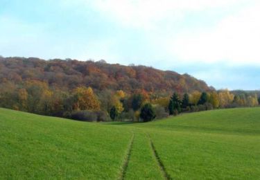
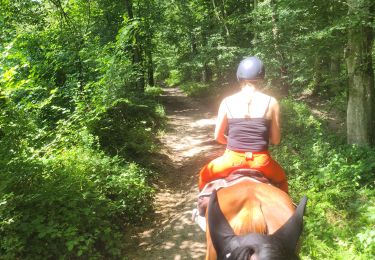
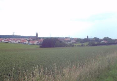
13,4 km | 15,9 km-effort
rando psa
cyclopat
Utilisateur
Longueur
11,7 km
Altitude max
356 m
Dénivelé positif
278 m
Km-Effort
15,4 km
Altitude min
205 m
Dénivelé négatif
280 m
Boucle
Oui
Date de création :
2014-12-10 00:00:00.0
Dernière modification :
2014-12-10 00:00:00.0
3h19
Difficulté : Facile
Application GPS de randonnée GRATUITE
À propos
Randonnée Marche de 11,7 km à découvrir à Grand Est, Moselle, Saint-Hubert. Cette randonnée est proposée par cyclopat.
Description
rando psa
Localisation
Pays :
France
Région :
Grand Est
Département/Province :
Moselle
Commune :
Saint-Hubert
Localité :
Unknown
Départ:(Dec)
Départ:(UTM)
306180 ; 5454644 (32U) N.
Commentaires
Randonnées à proximité
Randonnée du Haut Chemin - Le chemin de la Reine à Vigy
Marche
Moyen
(1)
Vigy,
Grand Est,
Moselle,
France
4h 0min
Oui
Circuit le Chene des Moines
A pied
Facile
Saint-Hubert,
Grand Est,
Moselle,
France
7,3 km | 9,2 km-effort
2h 6min
Non
Chez Audrey et Laure a la chapelle de Rabas
Randonnée équestre
Difficile
Saint-Hubert,
Grand Est,
Moselle,
France
24 km | 31 km-effort
4h 7min
Oui
Randonée depuis ADEPPA VIGY
Randonnée équestre
Moyen
Vigy,
Grand Est,
Moselle,
France
16,6 km | 22 km-effort
2h 56min
Oui
St Hubert -arbre de l’année 2022
Marche
Saint-Hubert,
Grand Est,
Moselle,
France
11 km | 14,2 km-effort
2h 39min
Oui
Circuit la source Charlemagne
A pied
Facile
Saint-Hubert,
Grand Est,
Moselle,
France
6,7 km | 8,8 km-effort
1h 59min
Non
Sanry les Vigy - Failly - Paouilly - Sanry les bigy 57
Marche
Très facile
Sanry-lès-Vigy,
Grand Est,
Moselle,
France
8,2 km | 9,6 km-effort
Inconnu
Oui
2010-09-11 - 16h54m50
Marche
Très facile
Sanry-lès-Vigy,
Grand Est,
Moselle,
France
8,2 km | 9,6 km-effort
Inconnu
Oui
Circuit le chemin de la Reine
A pied
Facile
Vigy,
Grand Est,
Moselle,
France
13,1 km | 15,5 km-effort
3h 31min
Oui
metz ...