

Brillehaut_ScarabéBleu

douneto
Utilisateur

Longueur
5,4 km

Altitude max
143 m

Dénivelé positif
107 m

Km-Effort
6,8 km

Altitude min
52 m

Dénivelé négatif
106 m
Boucle
Oui
Date de création :
2019-04-30 14:33:24.426
Dernière modification :
2019-04-30 14:33:24.456
1h20
Difficulté : Facile

Application GPS de randonnée GRATUITE
À propos
Randonnée Marche de 5,4 km à découvrir à Normandie, Eure, Saint-Aubin-sur-Gaillon. Cette randonnée est proposée par douneto.
Description
Rando Mai 2013
Forêt bien entretenue et agréable.
Balisage Bleu
Accès Parking des Marnières sortie Jeufosse au pied de la côte des Rotoirs
Localisation
Pays :
France
Région :
Normandie
Département/Province :
Eure
Commune :
Saint-Aubin-sur-Gaillon
Localité :
Unknown
Départ:(Dec)
Départ:(UTM)
379667 ; 5444595 (31U) N.
Commentaires
Randonnées à proximité
A la rencontre des lavoirs


Marche
Moyen
Saint-Pierre-de-Bailleul,
Normandie,
Eure,
France

9,9 km | 12,6 km-effort
2h 50min
Oui
Gaillon-StAubin-Brillehaut


Marche
Moyen
Gaillon,
Normandie,
Eure,
France

11,3 km | 14,7 km-effort
3h 9min
Oui
Brillehaut_ScarabeViolet


Marche
Facile
Saint-Aubin-sur-Gaillon,
Normandie,
Eure,
France

5,6 km | 7,1 km-effort
1h 30min
Oui
la chapelle réanville


Marche
Facile
La Chapelle-Longueville,
Normandie,
Eure,
France

17,6 km | 21 km-effort
1h 50min
Non
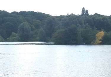
de l hôtel des canisses


Autre activité
Facile
La Chapelle-Longueville,
Normandie,
Eure,
France

11,9 km | 14,3 km-effort
3h 48min
Oui
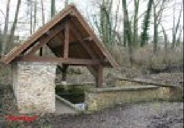
La-Chapelle-Réanville - sentier des jeunes pousses


Marche
Facile
La Chapelle-Longueville,
Normandie,
Eure,
France

8,3 km | 9,8 km-effort
2h 9min
Oui

Port Mort et ses personnages célèbres


Marche
Difficile
Port-Mort,
Normandie,
Eure,
France

14,6 km | 17,6 km-effort
3h 59min
Oui
chapelle de Bethléem


Marche
Facile
Le Val d'Hazey,
Normandie,
Eure,
France

2,7 km | 3,9 km-effort
1h 40min
Oui

saint pierre de bailleul -ces lavoirs et chateaux


Marche
Difficile
Saint-Pierre-de-Bailleul,
Normandie,
Eure,
France

11,8 km | 15,1 km-effort
3h 25min
Oui


 SityTrail


