


24 km | 26 km-effort

Utilisateur


Application GPS de randonnée GRATUITE
 SityTrail
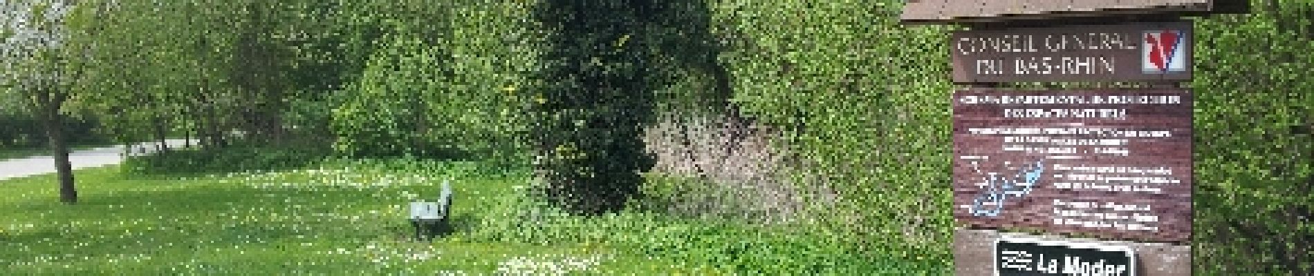
IGN / Instituts géographiques
SityTrail World
Le monde est à vous
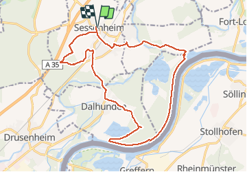
Randonnée Marche de 19,6 km à découvrir à Grand Est, Bas-Rhin, Sessenheim. Cette randonnée est proposée par VacheKiri67.
Distance 19,6km - Dénivelée 110m. Balisage : aucun. Faite le 01/05/2013 en 6h15 (dont 0h45 de pause) avec notre fils de 8 ans. D'après : Guide Rother Alsace N°15 page 62 : Depuis Sessenheim le long du Rhin.
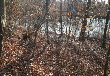
Mais parcouru en sens inverse. Surys Gut est un chemin privé donc détour à faire par Redoutenkopf.


Marche

Marche
Marche

Marche
Marche
Marche

Autre activité
Le parcours longe malheureusement des routes qui même si elles sont peu fréquentées empêchent de s'évader pleinement !