![](/images/other/stat-length.png)
![Randonnée Marche Saint-Aubin-sur-Gaillon - Brillehaut_SentierEcureuilRoux - Photo](https://media.geolcdn.com/t/1900/400/ext.pjpeg?maxdim=2&url=https%3A%2F%2Fservices.sitytrail.com%2FGeolivesWS%2FDownloadMedia.ashx%3FTrailID%3D188172%26Media%3Da8e050b5-efb2-4345-8acf-99e348900b77.jpeg)
Brillehaut_SentierEcureuilRoux
douneto
Utilisateur
![Longueur](/images/other/stat-length.png)
Longueur
5,8 km
![Altitude max](https://static1.geolcdn.com/siteimages/upload/files/1508320355ic_sort_altitude_max_24dp.png)
Altitude max
136 m
![Dénivelé positif](https://static1.geolcdn.com/siteimages/upload/files/1508320355ic_sort_den_pos_24dp.png)
Dénivelé positif
128 m
![Km-Effort](/images/other/stat-length.png)
Km-Effort
7,5 km
![Altitude min](https://static1.geolcdn.com/siteimages/upload/files/1508320355ic_sort_altitude_min_24dp.png)
Altitude min
52 m
![Dénivelé négatif](https://static1.geolcdn.com/siteimages/upload/files/1508320355ic_sort_den_neg_24dp.png)
Dénivelé négatif
128 m
![Boucle](https://static1.geolcdn.com/siteimages/upload/files/16400158638029165_repeat_loop_refresh_sync_direction_icon.png)
Boucle
Oui
Date de création :
2019-04-30 14:33:25.725
Dernière modification :
2019-04-30 14:33:26.064
![Marche](https://static1.geolcdn.com/sitytour/trail-icons/101.png)
1h30
Difficulté : Facile
![Scannez ce code QR pour ouvrir la randonnée dans l'application SityTrail](https://capi.geolives.com/qq0zvz2zws4bq2lad0pu/sitytour/trails/188172/qr.png?size=200)
Application GPS de randonnée GRATUITE
À propos
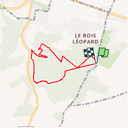
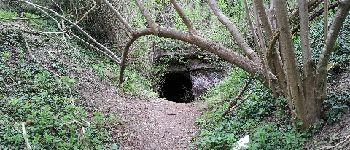
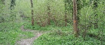
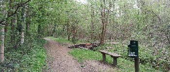
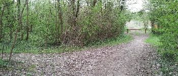
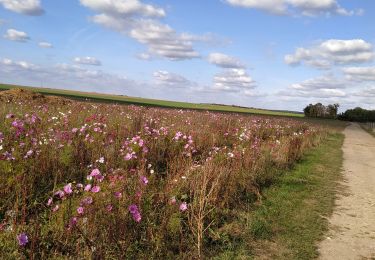
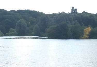
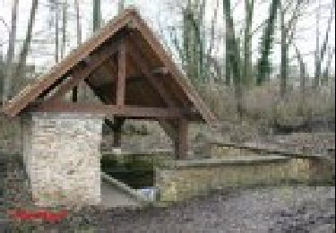
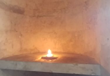
Randonnée Marche de 5,8 km à découvrir à Normandie, Eure, Saint-Aubin-sur-Gaillon. Cette randonnée est proposée par douneto.
Description
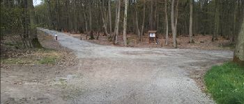
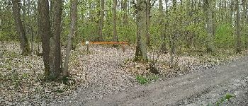
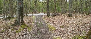
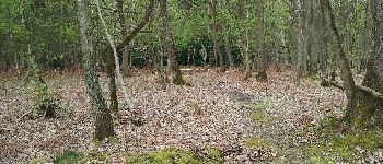
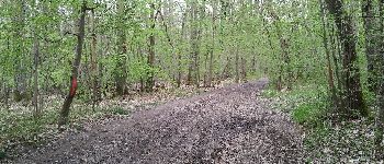
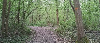
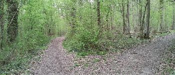
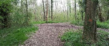
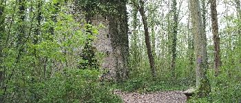
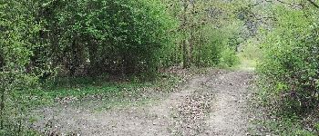
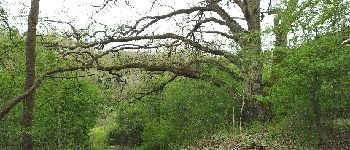
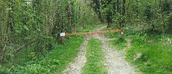
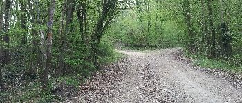
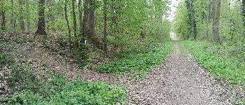
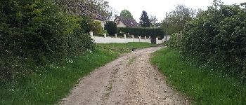
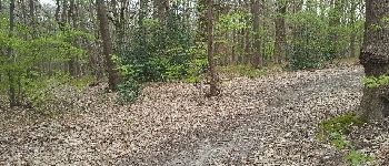
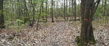
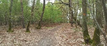
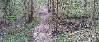
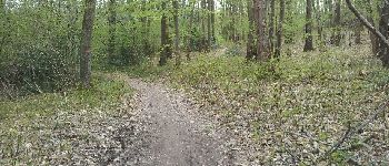
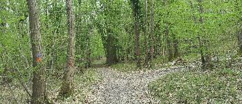
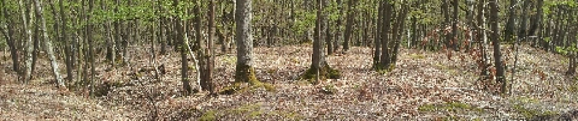
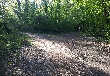
Forêt bien entretenue , balisages bien indiqués
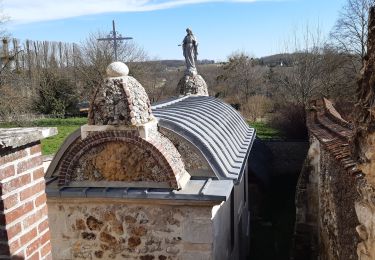
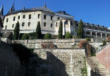
Points d'intérêt
Localisation
Pays :
France
Région :
Normandie
Département/Province :
Eure
Commune :
Saint-Aubin-sur-Gaillon
Localité :
Unknown
Départ:(Dec)
Départ:(UTM)
381286 ; 5444243 (31U) N.
Commentaires
Randonnées à proximité
![Randonnée Marche La Chapelle-Longueville - Saint Just - Les coteaux de Seine - Photo](https://media.geolcdn.com/t/375/260/ext.jpg?maxdim=2&url=https%3A%2F%2Fstatic1.geolcdn.com%2Fsiteimages%2Fupload%2Ffiles%2F1553511878bg_sport_marche.png)
![Marche Marche](https://static1.geolcdn.com/sitytour/trail-icons/101.png)
Saint Just - Les coteaux de Seine
Marche
Facile
(4)
La Chapelle-Longueville,
Normandie,
Eure,
France
![](/images/other/stat-length.png)
10,5 km | 13,8 km-effort
2h 57min
![](https://static1.geolcdn.com/siteimages/upload/files/16400158638029165_repeat_loop_refresh_sync_direction_icon.png)
Oui
![Randonnée Marche Saint-Pierre-de-Bailleul - A la rencontre des lavoirs - Photo](https://media.geolcdn.com/t/375/260/b40e3295-f250-42fc-a673-b0658115f2e1.jpg&format=jpg&maxdim=2)
![Marche Marche](https://static1.geolcdn.com/sitytour/trail-icons/101.png)
A la rencontre des lavoirs
Marche
Moyen
Saint-Pierre-de-Bailleul,
Normandie,
Eure,
France
![](/images/other/stat-length.png)
9,9 km | 12,6 km-effort
2h 50min
![](https://static1.geolcdn.com/siteimages/upload/files/16400158638029165_repeat_loop_refresh_sync_direction_icon.png)
Oui
![Randonnée Marche Gaillon - Gaillon-StAubin-Brillehaut - Photo](https://media.geolcdn.com/t/375/260/ext.jpg?maxdim=2&url=https%3A%2F%2Fservices.sitytrail.com%2FGeolivesWS%2FDownloadMedia.ashx%3FTrailID%3D254321%26Media%3D0ff5fe82-437c-49ce-957a-1ddcf2ccee08.jpg)
![Marche Marche](https://static1.geolcdn.com/sitytour/trail-icons/101.png)
Gaillon-StAubin-Brillehaut
Marche
Moyen
Gaillon,
Normandie,
Eure,
France
![](/images/other/stat-length.png)
11,3 km | 14,7 km-effort
3h 9min
![](https://static1.geolcdn.com/siteimages/upload/files/16400158638029165_repeat_loop_refresh_sync_direction_icon.png)
Oui
![Randonnée Marche Saint-Aubin-sur-Gaillon - Brillehaut_ScarabeViolet - Photo](https://media.geolcdn.com/t/375/260/ext.jpg?maxdim=2&url=https%3A%2F%2Fservices.sitytrail.com%2FGeolivesWS%2FDownloadMedia.ashx%3FTrailID%3D189065%26Media%3D9a66a7fb-a39c-4966-b6bd-3d848f6cf464.jpeg)
![Marche Marche](https://static1.geolcdn.com/sitytour/trail-icons/101.png)
Brillehaut_ScarabeViolet
Marche
Facile
Saint-Aubin-sur-Gaillon,
Normandie,
Eure,
France
![](/images/other/stat-length.png)
5,6 km | 7,1 km-effort
1h 30min
![](https://static1.geolcdn.com/siteimages/upload/files/16400158638029165_repeat_loop_refresh_sync_direction_icon.png)
Oui
![Randonnée Marche La Chapelle-Longueville - la chapelle réanville - Photo](https://media.geolcdn.com/t/375/260/f9bcd12b-63fc-4df9-b502-9a9a3c4cc611.jpg&format=jpg&maxdim=2)
![Marche Marche](https://static1.geolcdn.com/sitytour/trail-icons/101.png)
la chapelle réanville
Marche
Facile
La Chapelle-Longueville,
Normandie,
Eure,
France
![](/images/other/stat-length.png)
17,6 km | 21 km-effort
1h 50min
![](https://static1.geolcdn.com/siteimages/upload/files/16400158638029165_repeat_loop_refresh_sync_direction_icon.png)
Non
![Randonnée Autre activité La Chapelle-Longueville - de l hôtel des canisses - Photo](https://media.geolcdn.com/t/375/260/ext.jpg?maxdim=2&url=https%3A%2F%2Fservices.sitytrail.com%2FGeolivesWS%2FDownloadMedia.ashx%3FTrailID%3D803720%26Media%3D20170806110313.jpg)
![Autre activité Autre activité](https://static1.geolcdn.com/sitytour/trail-icons/900.png)
de l hôtel des canisses
Autre activité
Facile
La Chapelle-Longueville,
Normandie,
Eure,
France
![](/images/other/stat-length.png)
11,9 km | 14,3 km-effort
3h 48min
![](https://static1.geolcdn.com/siteimages/upload/files/16400158638029165_repeat_loop_refresh_sync_direction_icon.png)
Oui
![Randonnée Marche La Chapelle-Longueville - La-Chapelle-Réanville - sentier des jeunes pousses - Photo](https://media.geolcdn.com/t/375/260/ext.jpg?maxdim=2&url=https%3A%2F%2Fservices.sitytrail.com%2FGeolivesWS%2FDownloadMedia.ashx%3FTrailID%3D193947%26Media%3D53527ce2-f2fd-4501-af1b-10a840265c71.jpg)
![Marche Marche](https://static1.geolcdn.com/sitytour/trail-icons/101.png)
La-Chapelle-Réanville - sentier des jeunes pousses
Marche
Facile
La Chapelle-Longueville,
Normandie,
Eure,
France
![](/images/other/stat-length.png)
8,3 km | 9,8 km-effort
2h 9min
![](https://static1.geolcdn.com/siteimages/upload/files/16400158638029165_repeat_loop_refresh_sync_direction_icon.png)
Oui
![Randonnée Marche Port-Mort - Port Mort et ses personnages célèbres - Photo](https://media.geolcdn.com/t/375/260/ext.jpg?maxdim=2&url=https%3A%2F%2Fstatic1.geolcdn.com%2Fsiteimages%2Fupload%2Ffiles%2F1553511878bg_sport_marche.png)
![Marche Marche](https://static1.geolcdn.com/sitytour/trail-icons/101.png)
Port Mort et ses personnages célèbres
Marche
Difficile
Port-Mort,
Normandie,
Eure,
France
![](/images/other/stat-length.png)
14,6 km | 17,6 km-effort
3h 59min
![](https://static1.geolcdn.com/siteimages/upload/files/16400158638029165_repeat_loop_refresh_sync_direction_icon.png)
Oui
![Randonnée Marche Le Val d'Hazey - chapelle de Bethléem - Photo](https://media.geolcdn.com/t/375/260/0a09dd00-b132-47bf-ab2b-86cba5b4b440.jpg&format=jpg&maxdim=2)
![Marche Marche](https://static1.geolcdn.com/sitytour/trail-icons/101.png)
chapelle de Bethléem
Marche
Facile
Le Val d'Hazey,
Normandie,
Eure,
France
![](/images/other/stat-length.png)
2,7 km | 3,9 km-effort
1h 40min
![](https://static1.geolcdn.com/siteimages/upload/files/16400158638029165_repeat_loop_refresh_sync_direction_icon.png)
Oui