

M007-Pic de CRABERE

Polo-31
Utilisateur

Longueur
25 km

Altitude max
2577 m

Dénivelé positif
1888 m

Km-Effort
50 km

Altitude min
803 m

Dénivelé négatif
1889 m
Boucle
Oui
Date de création :
2014-12-10 00:00:00.0
Dernière modification :
2014-12-10 00:00:00.0
10h09
Difficulté : Difficile

Application GPS de randonnée GRATUITE
À propos
Randonnée Marche de 25 km à découvrir à Occitanie, Ariège, Sentein. Cette randonnée est proposée par Polo-31.
Description
Pic du CRABERE depuis FRECHENDECH. Retour par la Chapelle de l'IZARD. Randonnée longue si faite sur la journée. Possibilité de dormir au refuge Jacques HUSSON de l'Etang d'Araing.
Localisation
Pays :
France
Région :
Occitanie
Département/Province :
Ariège
Commune :
Sentein
Localité :
Unknown
Départ:(Dec)
Départ:(UTM)
331222 ; 4748130 (31T) N.
Commentaires
Randonnées à proximité

M008-Frechendech à Etang ARAING


Marche
Difficile
(1)
Sentein,
Occitanie,
Ariège,
France

24 km | 44 km-effort
10h 0min
Oui

Araing Crabère


Marche
Difficile
(2)
Sentein,
Occitanie,
Ariège,
France

32 km | 63 km-effort
9h 49min
Non
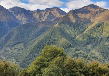
Pic de Courbayran et cabane de Roques


Marche
Très difficile
Bonac-Irazein,
Occitanie,
Ariège,
France

15,9 km | 29 km-effort
6h 37min
Oui
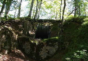
tunnels du Biros ou sentier Decauville


Marche
Très difficile
Bonac-Irazein,
Occitanie,
Ariège,
France

17,8 km | 29 km-effort
6h 35min
Oui
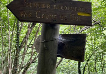
Sentier du port d’Orle - col du Tuc


Marche
Facile
Bonac-Irazein,
Occitanie,
Ariège,
France

13,7 km | 27 km-effort
6h 20min
Oui
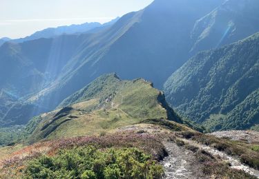
2022 TRANSPYRÉNÉEN :l’Etand d’Araing -Eylie le haut.


Marche
Difficile
Sentein,
Occitanie,
Ariège,
France

9,7 km | 18,1 km-effort
3h 15min
Non
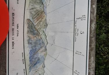
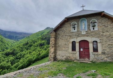
Cabane d'Illau et chapelle de l'izard


Marche
Moyen
(1)
Sentein,
Occitanie,
Ariège,
France

15,2 km | 26 km-effort
6h 46min
Oui

FR Le tour du Mail des Morères


Marche
Facile
(1)
Antras,
Occitanie,
Ariège,
France

10,9 km | 22 km-effort
4h 30min
Oui


 SityTrail


