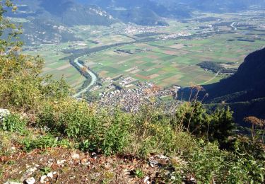
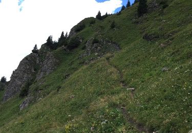
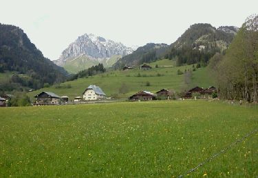
5,1 km | 11,9 km-effort
Le Grammont, Lac de Tanay
pnoth
Utilisateur
Longueur
6,8 km
Altitude max
2175 m
Dénivelé positif
1144 m
Km-Effort
18,4 km
Altitude min
1066 m
Dénivelé négatif
48 m
Boucle
Non
Date de création :
2014-12-11 00:00:00.0
Dernière modification :
2014-12-11 00:00:00.0
--
Difficulté : Inconnu
Application GPS de randonnée GRATUITE
À propos
Randonnée Autre activité de 6,8 km à découvrir à Valais, Monthey, Vouvry. Cette randonnée est proposée par pnoth.
Description
English: http://www.noth.ch/h0405_e.html
Français: http://www.noth.ch/h0405_f.html
Deutsch: http://www.noth.ch/h0405_d.html
Localisation
Pays :
Suisse
Région :
Valais
Département/Province :
Monthey
Commune :
Vouvry
Localité :
Unknown
Départ:(Dec)
Départ:(UTM)
334565 ; 5133848 (32T) N.
Commentaires
Randonnées à proximité
Le Linleu 2093 m, depuis Sevan-devant
Marche
Moyen
(1)
La Chapelle-d'Abondance,
Auvergne-Rhône-Alpes,
Haute-Savoie,
France
3h 0min
Oui
Les Cornettes de Bise par le sentier de Saix Rouquin
Marche
Difficile
(1)
La Chapelle-d'Abondance,
Auvergne-Rhône-Alpes,
Haute-Savoie,
France
10 km | 25 km-effort
6h 30min
Oui
Miex-Lac Tanay (via Prélagine)
A pied
Facile
Vouvry,
Valais,
Monthey,
Suisse
6,3 km | 9,9 km-effort
2h 15min
Non
Torgon village - Chalet de Blancsex
A pied
Facile
Vionnaz,
Valais,
Monthey,
Suisse
4,4 km | 8,7 km-effort
1h 58min
Non
Torgon village - Dravers
A pied
Facile
Vionnaz,
Valais,
Monthey,
Suisse
4 km | 8,3 km-effort
1h 53min
Non
Cheyenne - Mens - Col d'Ubine
Marche
Très facile
La Chapelle-d'Abondance,
Auvergne-Rhône-Alpes,
Haute-Savoie,
France
6,9 km | 13,2 km-effort
3h 0min
Oui
chapelle d abondance Trebentaz chapelle d abondance
Autre activité
Difficile
La Chapelle-d'Abondance,
Auvergne-Rhône-Alpes,
Haute-Savoie,
France
13,9 km | 28 km-effort
4h 51min
Oui
Plaine de Joux
Marche
Moyen
La Chapelle-d'Abondance,
Auvergne-Rhône-Alpes,
Haute-Savoie,
France
19,4 km | 29 km-effort
5h 24min
Oui