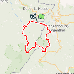

13,8 km | 18,7 km-effort


Utilisateur


Application GPS de randonnée GRATUITE
 SityTrail
IGN / Instituts géographiques
SityTrail World
Le monde est à vous
Randonnée Marche de 28 km à découvrir à Grand Est, Moselle, Dabo. Cette randonnée est proposée par markrei.
plus de 1500 m de dénivellée dans les Vosges dans la journée !!!
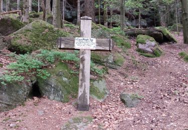
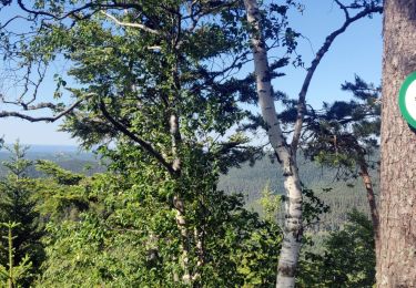
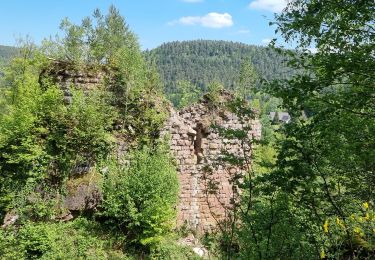
Parcours souvent hors sentier spécialement étudié par Patrick Burg et Patrick Gruner
Marche

Marche

Marche

Marche

V.T.T.

Marche

Randonnée équestre
Marche