


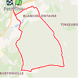

8,4 km | 10,9 km-effort


Utilisateur


Application GPS de randonnée GRATUITE
 SityTrail
IGN / Instituts géographiques
SityTrail World
Le monde est à vous
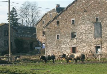
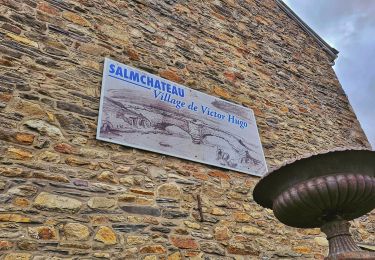
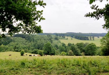
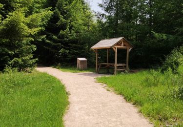
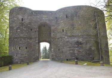
Randonnée Marche de 8,9 km à découvrir à Wallonie, Luxembourg, Vielsalm. Cette randonnée est proposée par yfouldrin.
Rando super facile avec bcp de forêt de 8 kms au départ de Petit-Thier (référencée n°5 sur la carte vendue au Sunparks). Très bien balisée.

Marche
Marche
Marche
Marche
Marche
Marche
Marche
Marche
Marche