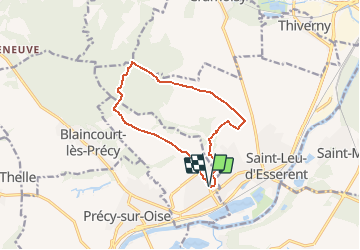

13,2 km | 14,5 km-effort


Utilisateur


Application GPS de randonnée GRATUITE
 SityTrail
IGN / Instituts géographiques
SityTrail World
Le monde est à vous
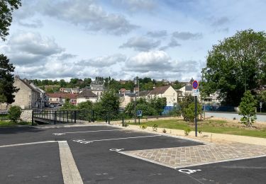
Randonnée Marche de 10,7 km à découvrir à Hauts-de-France, Oise, Villers-sous-Saint-Leu. Cette randonnée est proposée par Pousscailleux.
Déconseillé en semaine : gros trafic poids lourds entre la carrière (Mont des Fourches) et la D12( via le Champs Yon)
Marche

V.T.T.
Marche
Marche
Marche
Marche
Marche

Marche